Water Towers: Region South West England
Bath and North East Somerset
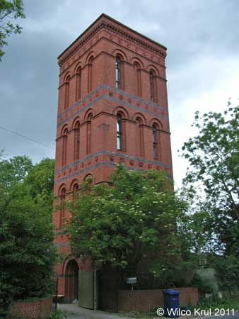
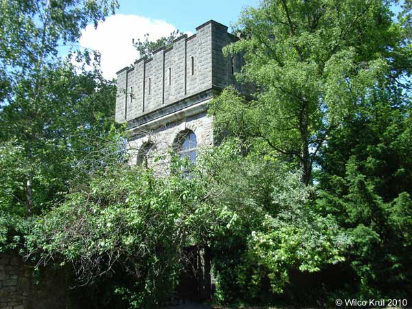
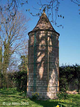
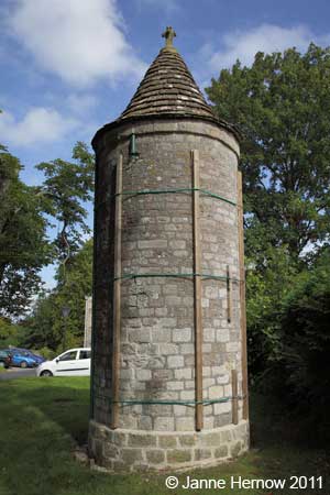
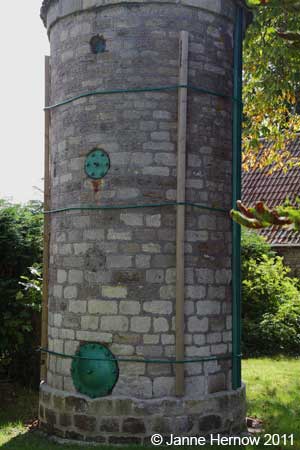
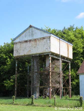
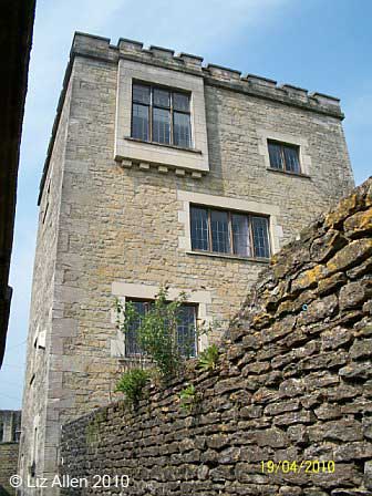
Freshford, Pipehouse Lane
N 51.3430 – W 2.3274
Bristol
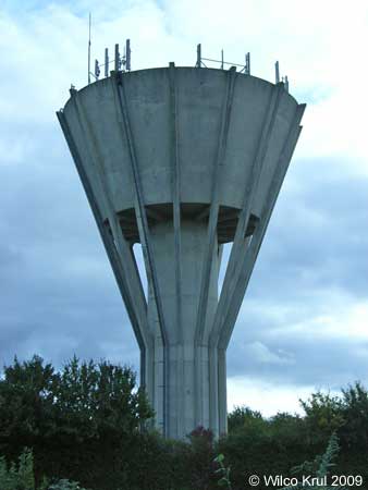
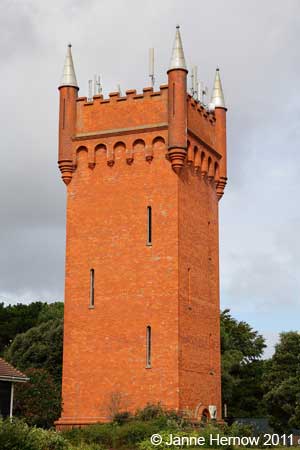
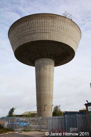
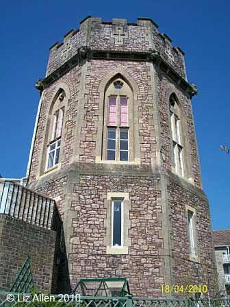
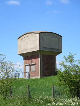
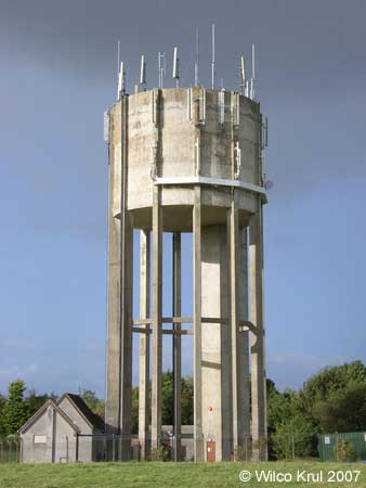
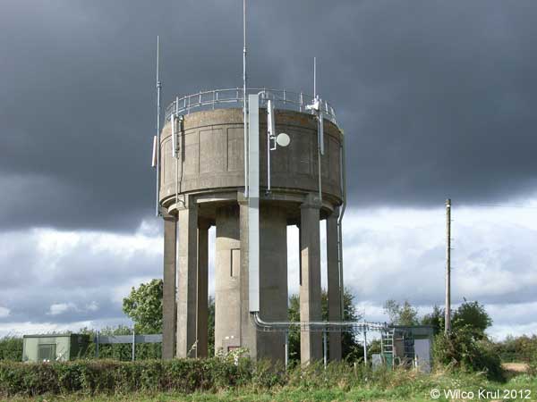
Bristol, Durdham Down
N 51.4720 – W 2.6180
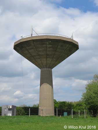
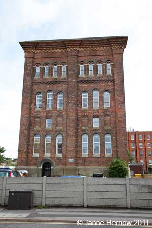
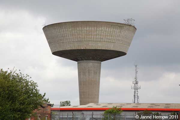
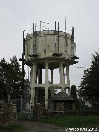
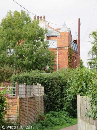
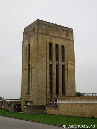
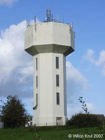
Bristol, Knowle, Jubilee Road
N 51.4339 – W 2.5623
Dorset
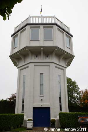
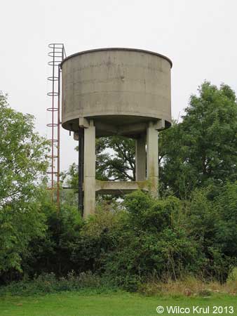
Bournemouth, Boscombe
N 50.7292 – W 1.8425
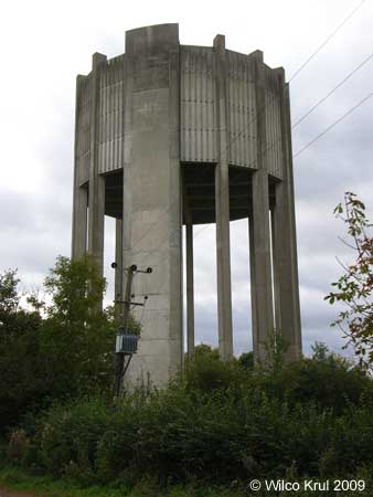
Bournemouth, Tuckton
N 50.7249 – W 1.8005
Bournemouth, Upper Gardens
N 50.7251 – W 1.8954
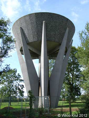
Poole, Parkstone
N 50.7282 – W 1.9425
Poole, Newton, Mannings Heath
N 50.7449 – W 1.9490
Dorchester
N 50.7142 – W 2.4492
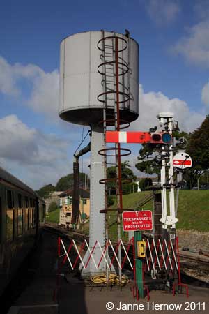
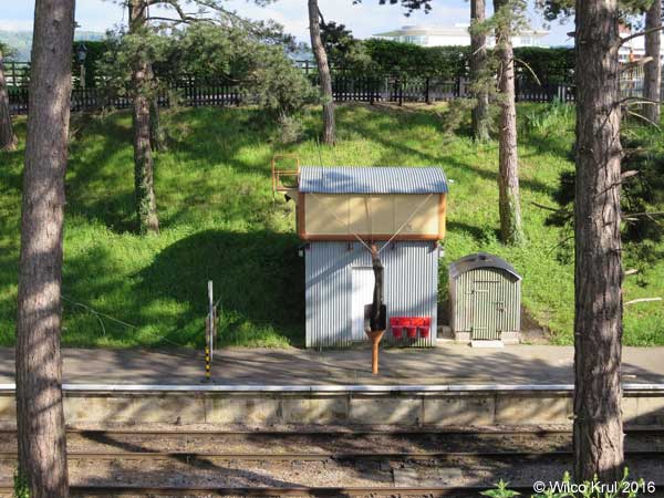
Swanage, Swanage Station (railway)
N 50.6100 – W 1.9620
Seaton
N 50.7173 – W 3.0874
Gloustershire
Cold Aston
N 51.8779 – W 1.8161
Fairford, Coronation Street
N 51.7096 – W 1.7893
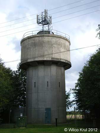
Kemble (railway)
N 51.6774 – W 2.0234
The Mythe, Mythe Road
N 51.6457 – W 2.1625
Prestbury, Evesham Road (railway)
N 51.9237 – W 2.0690
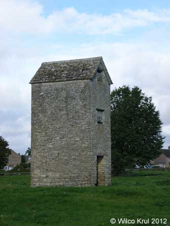
Rodmarton
N 51.6808 – W 2.0896
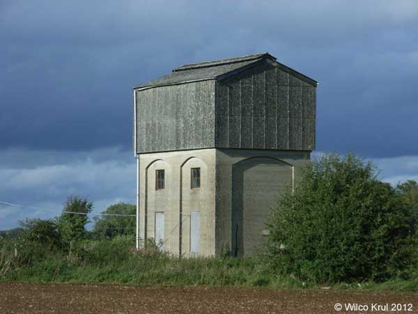
Tarlton, Sandpoole Lane
N 51.6933 – W 2.0614
Tetbury, Lowfield Road
N 51.6457 – W 2.1625
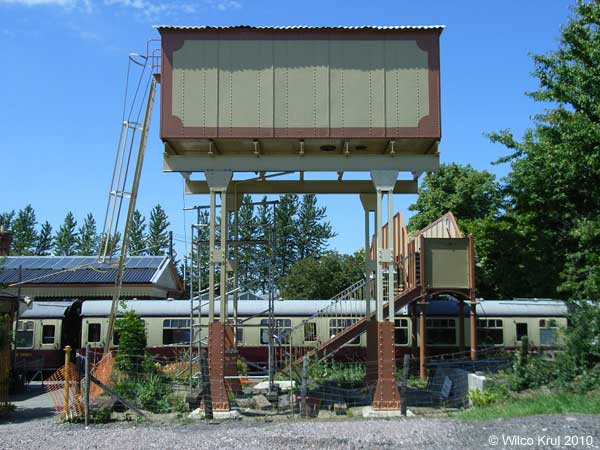
Toddington (railway)
N 51.9887 – W 1.9284
Toddington (railway)
N 51.9894 – W 1.9283
North Somerset
Failand, Clevedon Road
N 51.4464 – W 2.7075
Leigh Woods, St Mary’s Road
N 51.4531 – W 2.6384
Weston-super-Mare, Shrubbery Avenue
N 51.3553 – W 2.9844
Somerset
Churchinford, Church Road
N 50.9139 – W 3.1294
Culmhead (former RAF Culmhead)
N 50.9357 – W 3.1113
Dunster, Dunster Castle (earth reservoir)
N 51.1812 – W 3.4451
The National Trust provides the following information:
“In 1870 an underground water reservoir was constructed beneath the Keep Garden to store 40,000 gallons (182,000 litres) of water for the castle and village.”
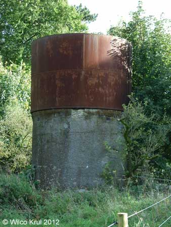
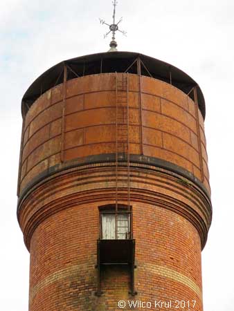
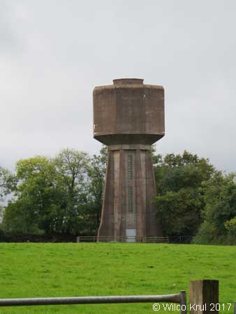
Farleigh, Hungerford
N 51.3150 – W 2.2879
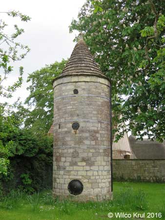
The website of Historic England and a sign next to the water tower provide the following information: “Approximately 2.5 metres diameter, 5 metres high with 3 iron inspection plates and iron depth indicator mechanism. Fed by river power driven pump from fresh water spring via 50 mm cast iron pipe and used until the early 1970s to distribute a domestic water supply to Farleigh Hungerford.” /Wilco Krul
Rockwell Green, Popes Lane (old)
N 50.9730 – W 3.2460
Rockwell Green, Popes Lane (new)
N 50.9729 – W 3.2462
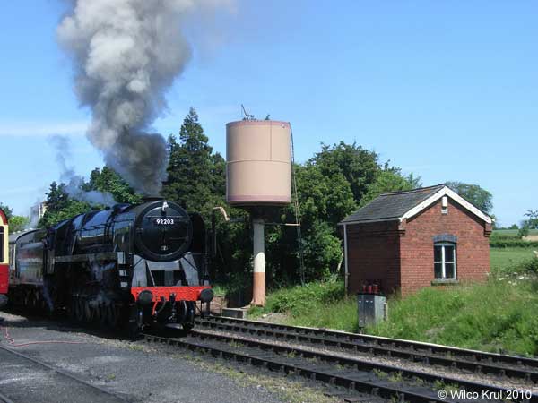
Taunton, Firepool Lock (railway)
N 51.0224 – W 3.0975
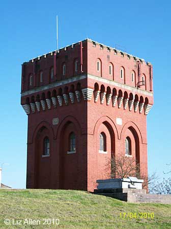
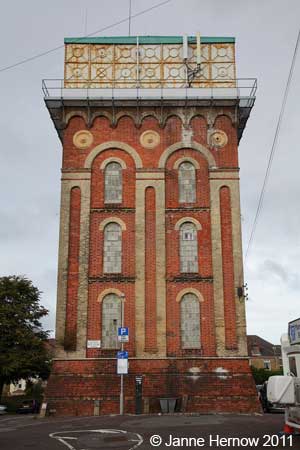
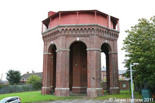
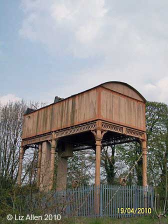
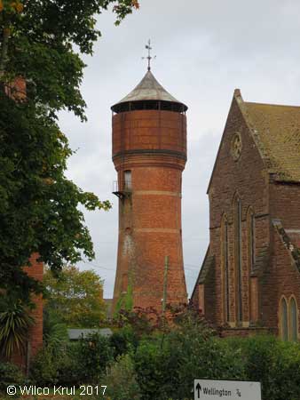
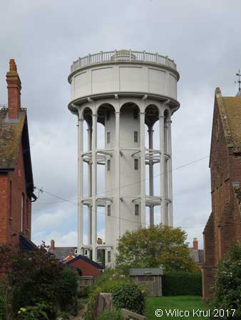
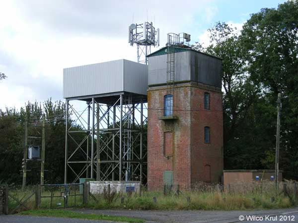
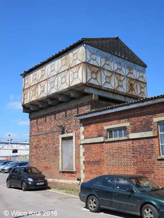
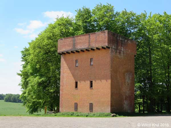
Wellington, Dark Lane (converted)
N 50.9725 – W 3.2272
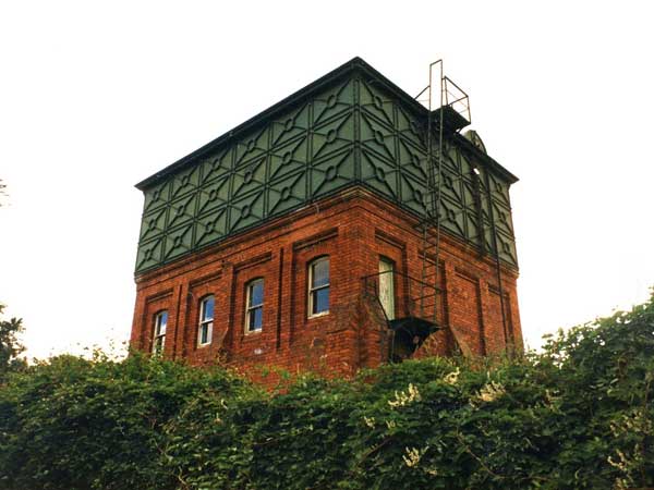
The Dark Lane water tower in Wellington was built in 1896 and held 40,000 gallons (180,000 litres). The tower was designed by Howard, a local architect.
It was built with Thomas bricks (a local brickyard) and ironwork by Ford Brothers (local foundry). The tower was originally a two storey house with a water tank on top and a hipped slate roof on the water tank.
It became redundant in 1991 and in the mid 90s the new owner replaced the tank with a third storey, but leaving some of the tank plates as balconies. The corner turrets add further distinction, reflecting some of Howard’s designs for his houses in nearby Wellesley Park.
The photo from 1986 shows the tower before the tank was removed and the third storey put on. (Information kindly provided by the Wellington Local History & Museum Society.)
/Wilco Krul
Willand, Broad Street
N 50.9055 – W 3.1444
South Gloustershire
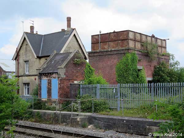
Charfield, Station Road (railway)
N 51.6280 – W 2.3994
Swindon
Hannington Wick
N 51.6561 – W 1.7507
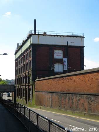
Swindon, Bristol Street (former Swindon Railway Works)
N 51.5615 – W 1.7937
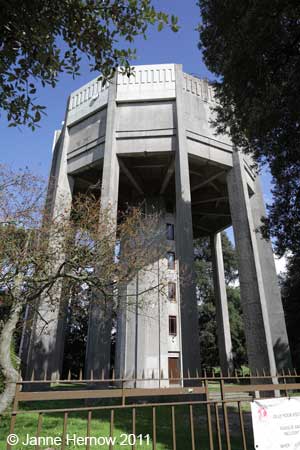
Swindon, Rodbourne Road (former Swindon Railway Works, converted)
N 51.5611 – W 1.7978
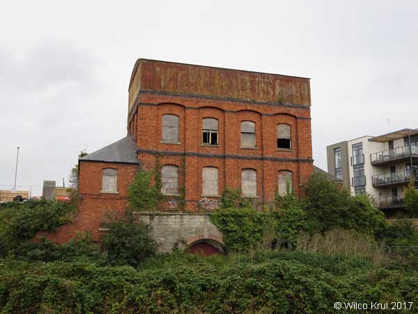
The website of Historic England provides the following information:
“The building is a pattern store, dating from 1897, designed and constructed by the Great Western Railway for the Swindon Railway Works.
The building is surmounted by a four-section cast iron water tank, which covers the entire roof of the building. The tank is covered in part with modern shallow-pitched roofs, and in part with a flat roof covered in mineral felt.
At the south east end of the second floor of the building is a cast iron spiral staircase, which rises up through the tank to the roof, terminating inside a metal turret with a conical roof.
The ground floor and basement have been converted into a restaurant, using lightweight cladding and partitions, behind which much of the original structure survives. The first and second floors have not been converted.” /Wilco Krul
Wiltshire
Baydon, Finches Lane
N 51.4990 – W 1.5872
Charlton, Pond Lane
N 51.5965 – W 1.9950
Crudwell, Odd Farm
N 51.6605 – W 2.0557
Druids Lodge
N 51.1513 – W 1.8588
East Winterslow, Pincroft Lane
N 51.1021 – W 1.6558
Kemble Airfield Enterprise Park
N 51.6625 – W 2.0560
Ludgershall, Andover Road
N 51.2516 – W 1.6023 N 51.2517 – W 1.6022
Malmesbury, Holloway Hill (converted water tower)
N 52.0569 – W 1.3618
Malmesbury, Crudwell Road
N 51.5919 – W 2.0896
Rodbourne
N 51.5491 – W 2.0992
Salisbury, Fisherton Street (railway)
N 51.0708 – W 1.8051
Sherston, Knockdown Road
N 51.5755 – W 2.2202
Tilshead, Salisbury Plain
N 51.2266 – W 1.9681
Yatton Keynell
N 51.4978 – W 2.1951