Water Towers: Region East Midlands
Leicestershire
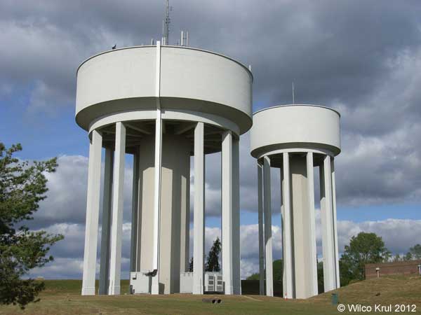
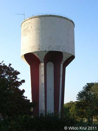
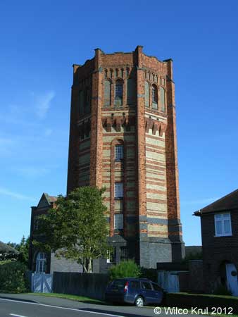
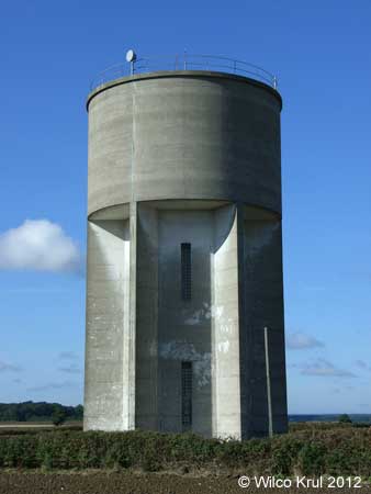
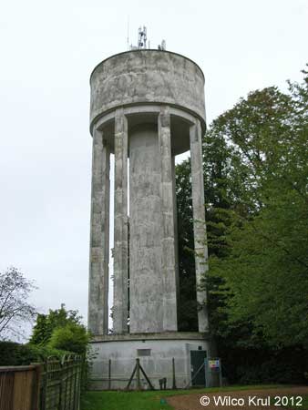
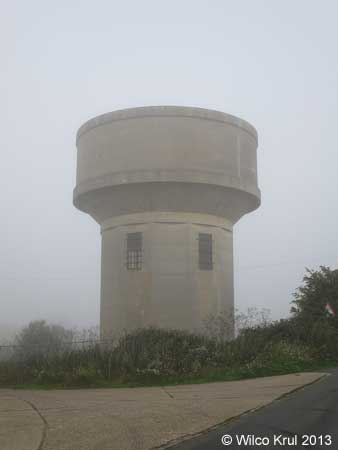
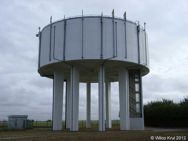
Buckminster, The Drift
N 52.8040 – W 0.6820
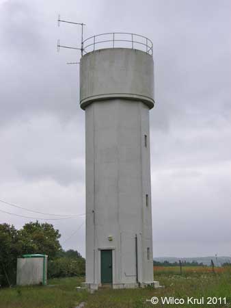
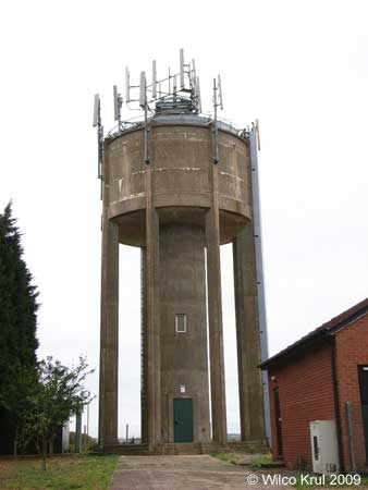
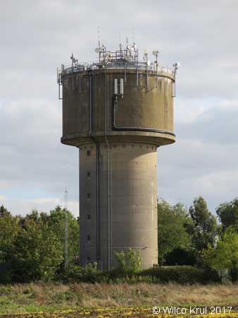
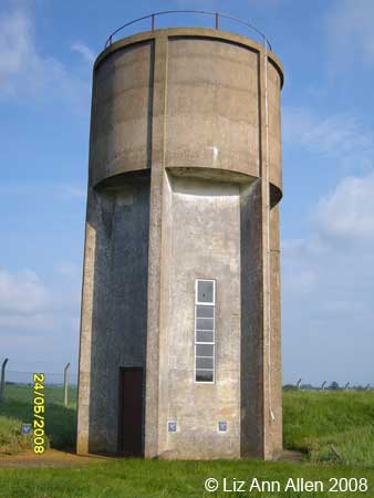
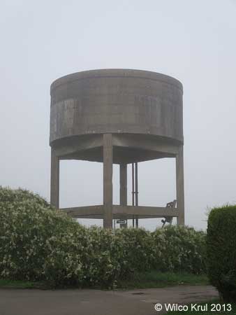
Buckminster, Stainby Road/Manor farm
N 52.7969 – W 0.6937
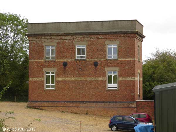
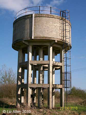
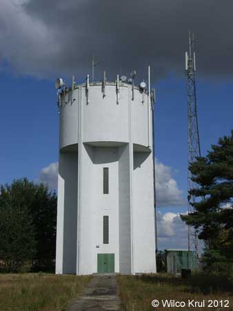
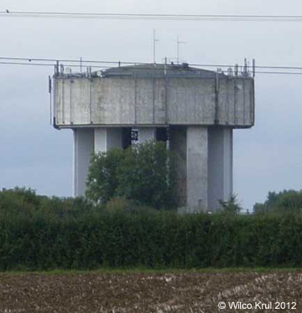
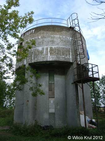
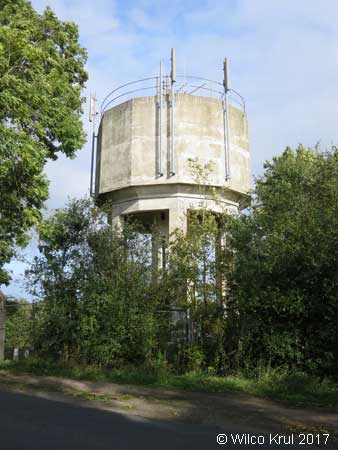
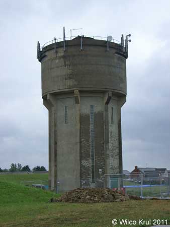
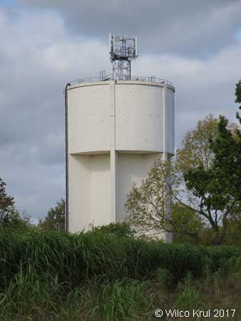
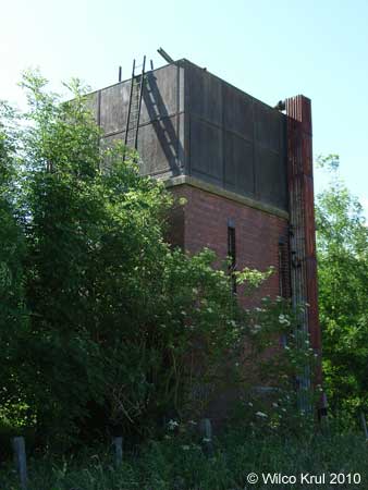
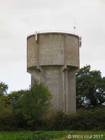
Wymondham, Drift Hill
N 52.7583 – W 0.7185
Northamptonshire
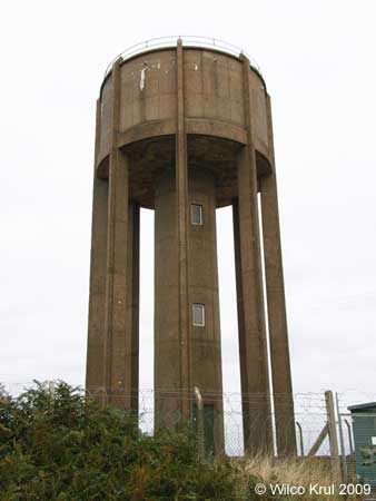
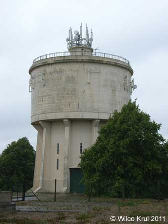
Barby, Daventry Road
N 52.3215 – W 1.2053
Barby (former railway sidings)
N 52.3302 – W 1.2411
Brafield-on-the-Green, Furze Road
N 52.2189 – W 0.8016
Collyweston, The Drove
N 52.6103 – W 0.5247
Corby, Uppingham Road
N 52.4884 – W 0.7340 N 52.4885 – W 0.7349
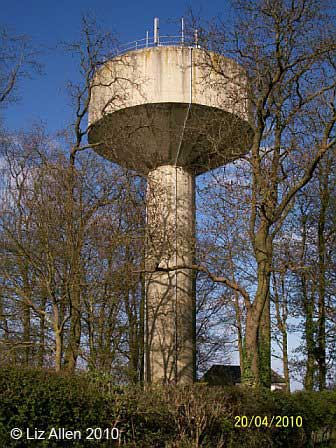
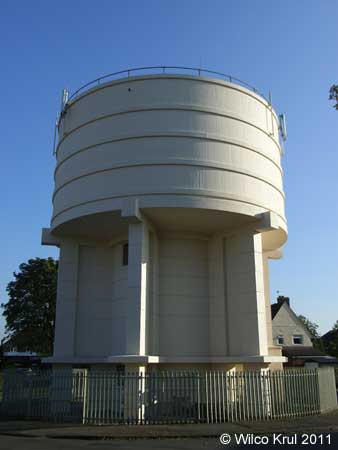
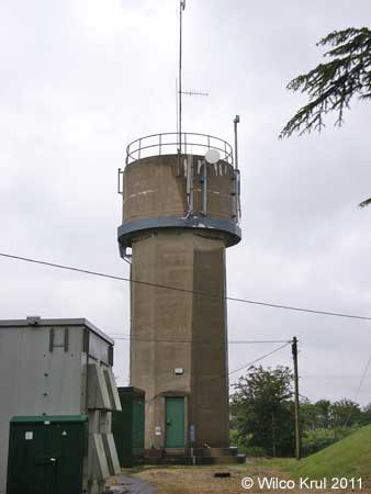
Corby, Phoenix Parkway (former iron and steel works)
N 52.4976 – W 0.6749
Corby, Rockingham Road
N 52.5105 – W 0.7166
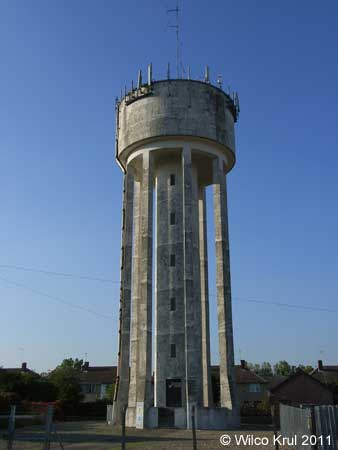
Corby, Tanfields Grove
N 52.4963 – W 0.6971
Corby, Willow Brook Road
N 52.5003 – W 0.7139
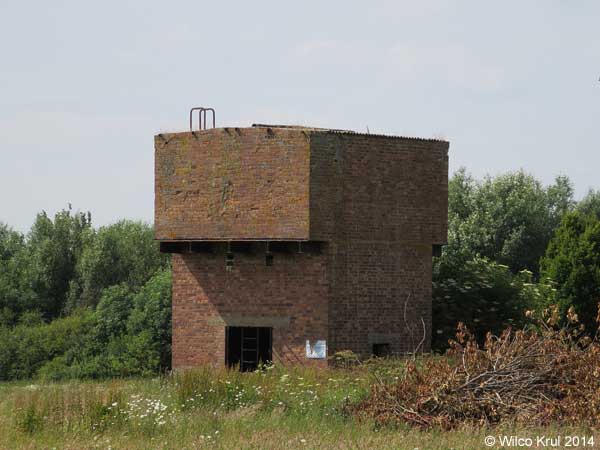
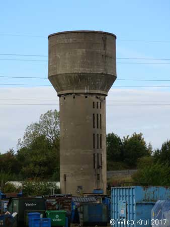
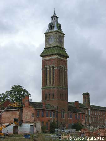
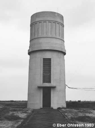
Corby, (Stewarts and Lloyds Ltd iron and steel works) (demolished)
N 52.4954 W 0.6825
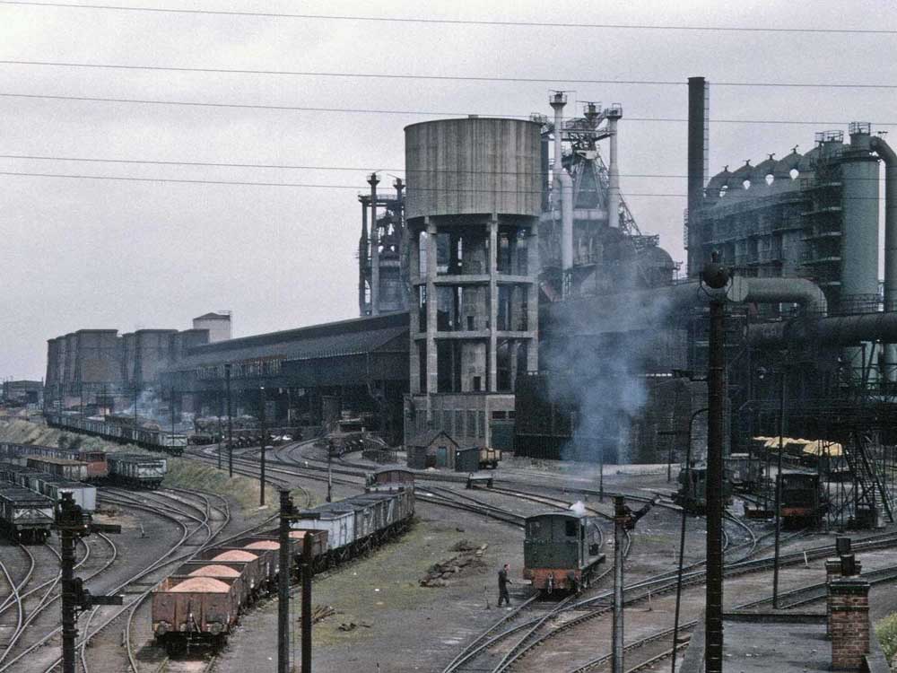
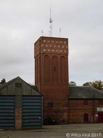
Image and information provided by Wilco Krul.
On the left side of the photo another water tower can be seen (in the background), with a light-coloured reservoir and a darker roof. Both water towers (and all of the other buildings in the photo) were demolished after the iron and steel works closed in May 1980. /Wilco Krul
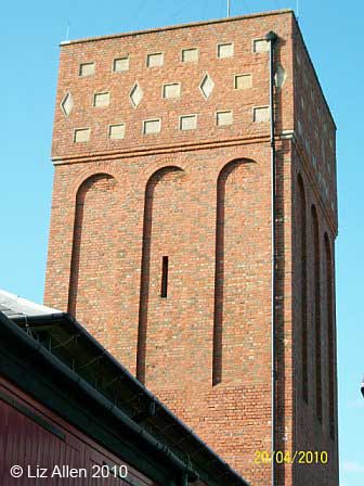
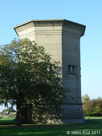
Corby (Tata Steels)
(Earlier Stewarts and Lloyds Ltd iron and steel works)
N 52.4974 W 0.6579
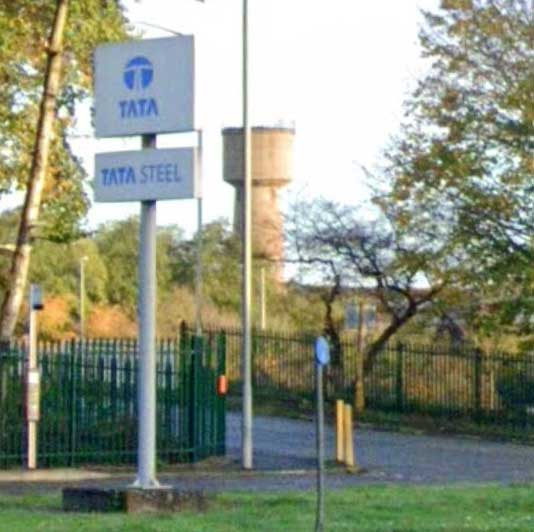
View from Weldon Road.
Denford Ash
N 52.37035 – W 0.5180
Dingley, Braybrooke Road
N 52.4732 – W 0.8623
Earls Barton, Stevens Court
N 52.2704 – W 0.7388
Everdon, Everdon Stubbs
N 52.2024 – W 1.1056
Finedon, Irthlingborough Road
N 52.3365 – W 0.6438
Flore, Hillside Road
N 52.2394 – W 1.0675
Great Doddington, Earls Barton Road
N 52.2756 – W 0.7277
Halse
N 52.0625 – W 1.1687
Hemington
N 52.4499 – W 0.4179
Knuston, Irchester Road
N 52.2898 – W 0.6214
Mears Ashby, Highfield Road
N 52.3002 – W 0.7642
Nobottle, Roman Road
N 52.2552 – W 0.9894
Northampton, Boughton Green Road
N 52.2746 – W 0.8864
Northampton, Abington Park
N 52.2493 – W 0.8624
Preston Capes
N 52.1858 – W 1.1717
Roade, Manor Close
N 52.1590 – W 0.8890
Roade, Ashton Road
N 52.1527 – W 0.8906
Southwick, Glapthorn Road
N 52.5108 – W 0.4935
Upton, St Crispin Drive (former St Crispin Hospital)
N 52.2433 – W 0.9582
West Haddon, Northampton Road
N 52.3390 – W 1.0678
Wollaston, Irchester Road
N 52.2588 – W 0.6602
Woodford Halse (former railway yard)
N 52.1853 – W 1.2061
Yardley Gobion, Moorend Road
N 52.0974 – W 0.8930
Nottinghamshire
Gringley on the Hill, High Street
N 53.4081 – W 0.8836
Rutland
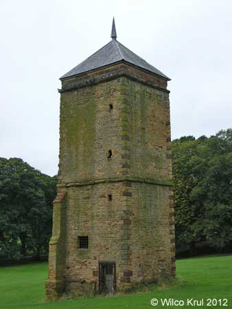
Burley, Exton Lane
N 52.6916 – W 0.6814
Manton, Wing Road (railway, converted)
N 52.6241 – W 0.6955