Vattentorn: Region West Midlands
Shropshire
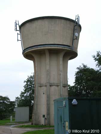
Tasley, Church Lane
N 52.5437 – W 2.4493
Upper Netchwood
N 52.5248 – W 2.5738
Staffordshire
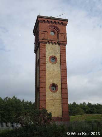
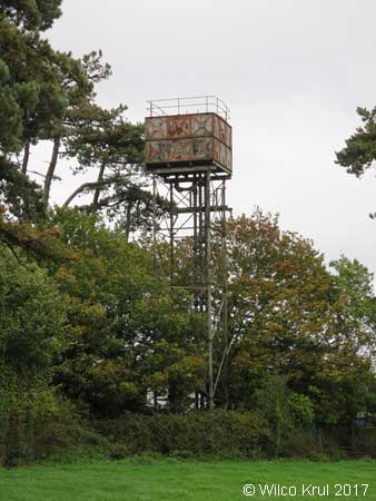
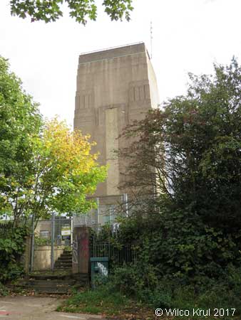
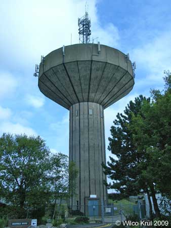
Essington, Hawthorne Road
N 52.6287 – W 2.0609
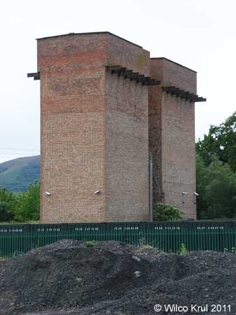
Hanchurch, Harley Thorn Lane
N 52.9549 – W 2.2399

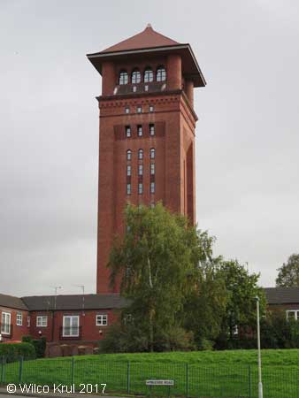
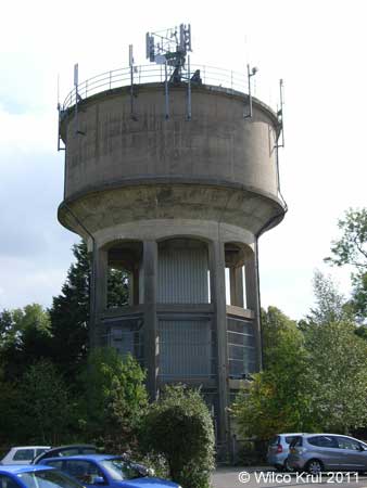
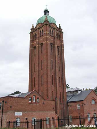
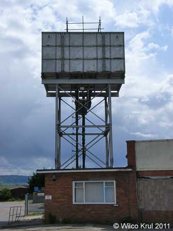
Stafford, St Georges Parkway (former Stafford County Lunatic Asylum)
N 52.8117 – W 2.1140
Warwickshire
Atherstone, Ratcliffe Road
N 52.5809 – W 1.5320
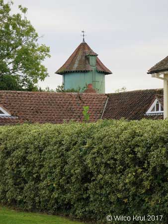
Bedworth, Gatehouse Lane (converted)
N 52.4760 – W 1.4794
Claverdon, Lye Green Road
N 52.2886 – W 1.7118
Corley, Church Lane
N 52.4629 – W 1.5647
Lapworth, Pound Close
N 52.3372 – W 1.7434
Moreton Paddox
N 52.1901 – W 1.5491
Nuneaton, Mancetter Road
N 52.5370 – W 1.5000
Ratley, Camp Lane
N 52.1318 – W 1.4440
Rugby, Ashlawn Road
N 52.3520 – W 1.2571
Stockton, Rugby Road
N 52.2785 – W 1.3557
West Midlands
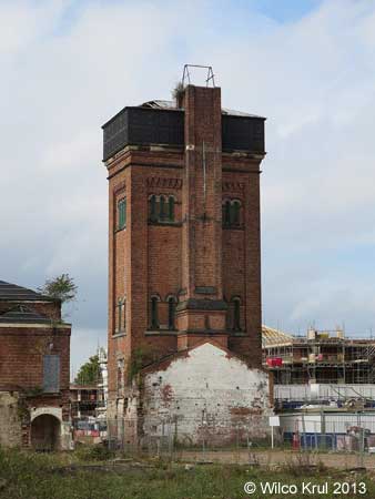
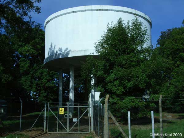
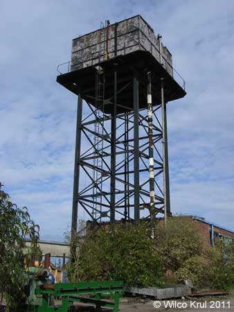
Birmingham, Sovereign Heights (former Hollymoor Hospital)
N 52.4045 – W 1.9968
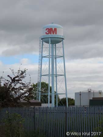
Wednesfield, Planetary Road
N 52.5932 – W 2.0830
Worcestershire
Droitwich Spa, Newland Road
N 52.0906 – W 2.3009
Headless Cross, Headless Cross Drive
N 52.2937 – W 1.9466
Headless Cross, Evesham Road
N 52.2937 – W 1.9466
Malvern, Blackmore Park Industrial Estate
N 52.0906 – W 2.3009
Pershore, Pershore Trading Estate
N 52.1295 – W 2.0716
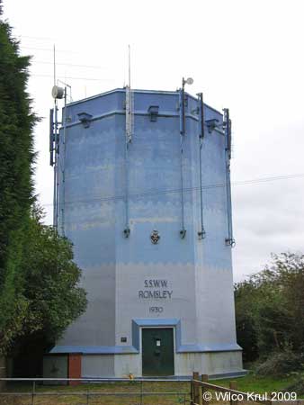
Romsley Hill, Farley Lane
N 52.4057 – W 2.0605