Water Towers: Region East of England
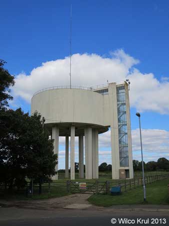
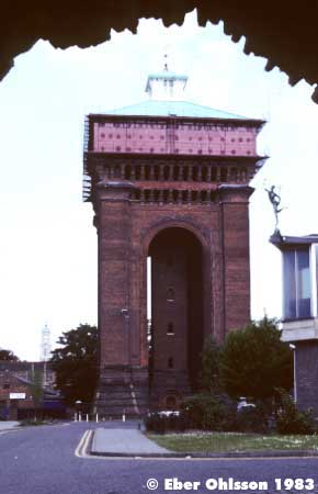
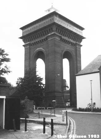
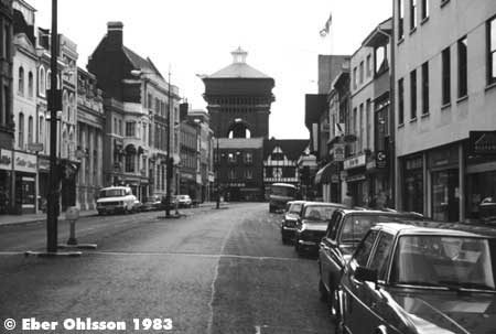
Bedford
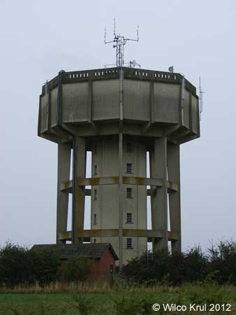
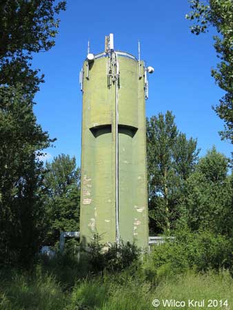
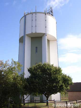
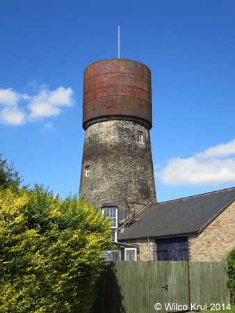
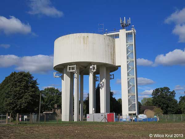
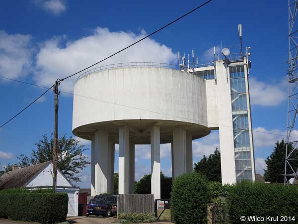
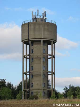
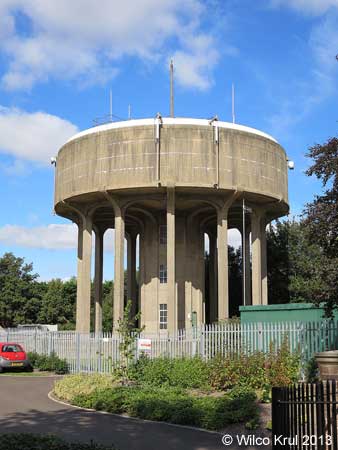
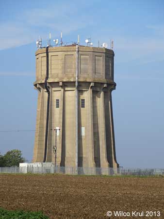
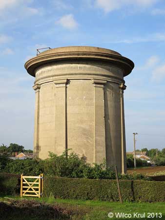
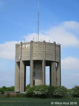
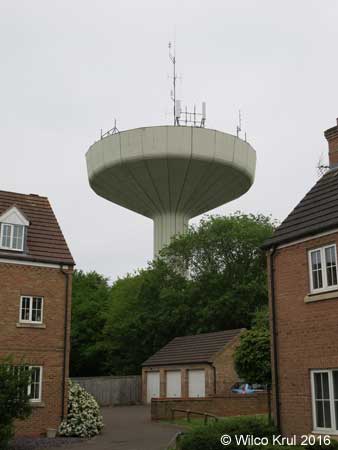
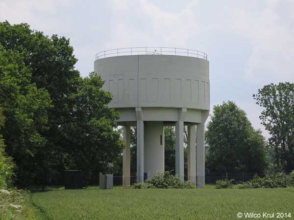
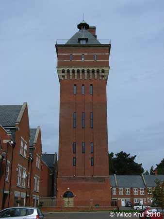
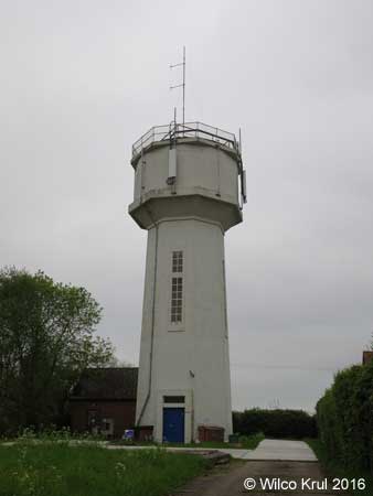
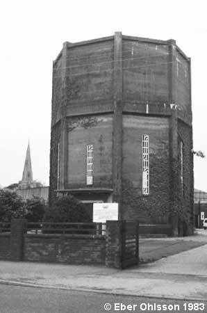
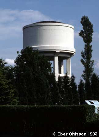
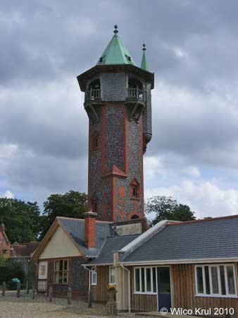
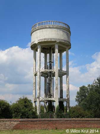
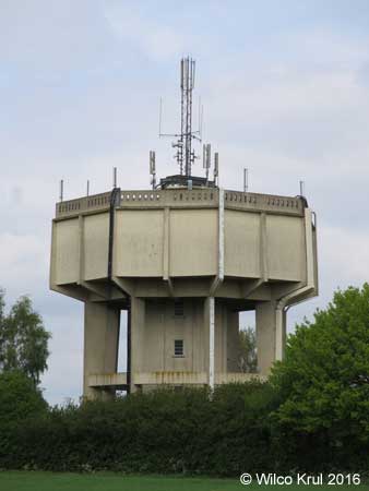
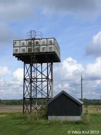
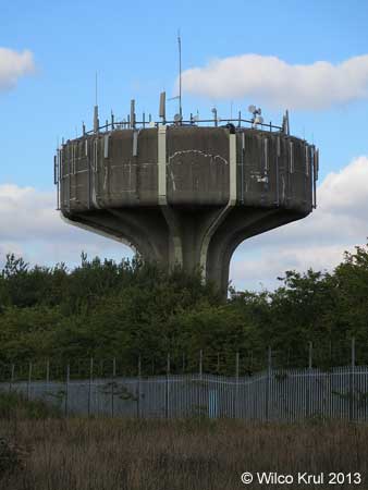
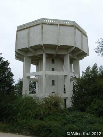
Milton Ernest, Thurleigh Road
N 52.1992 – W 0.4945
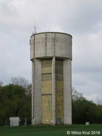
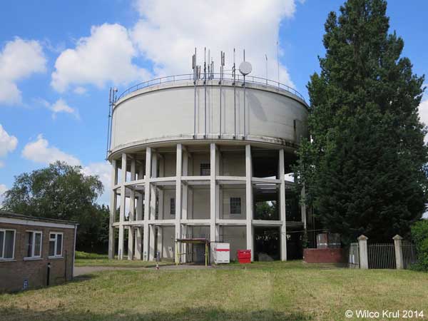
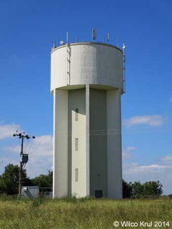
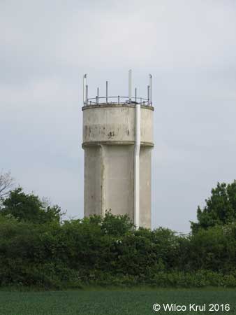
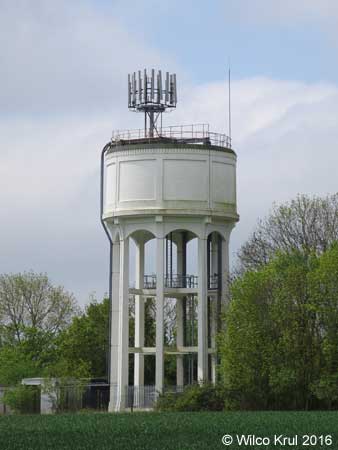
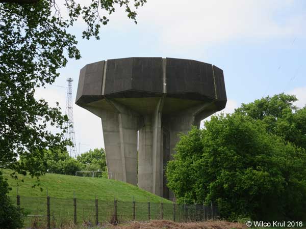
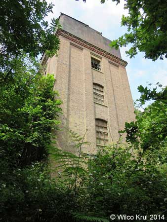
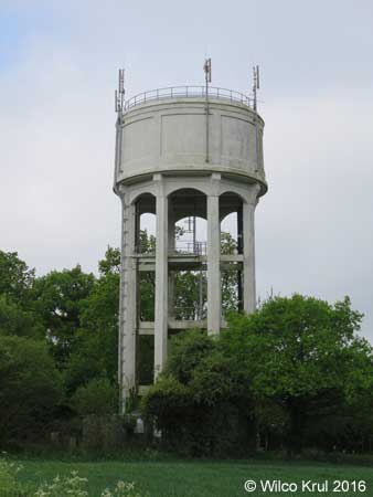
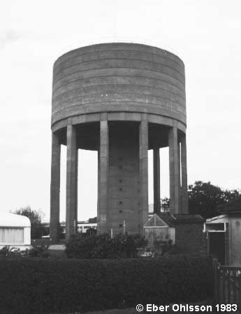
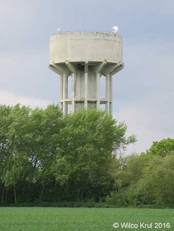
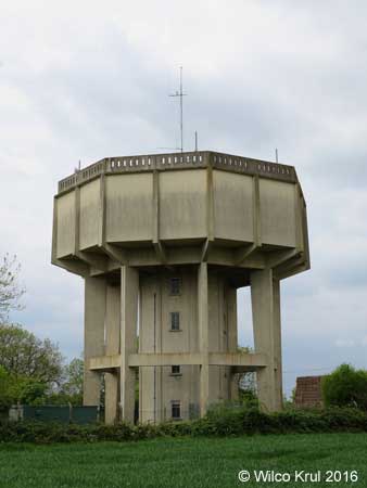
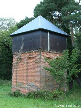
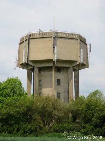
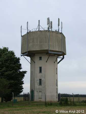
Ravensden, Sunderland Hill
N 52.1898 – W 0.4301
Cambridgeshire
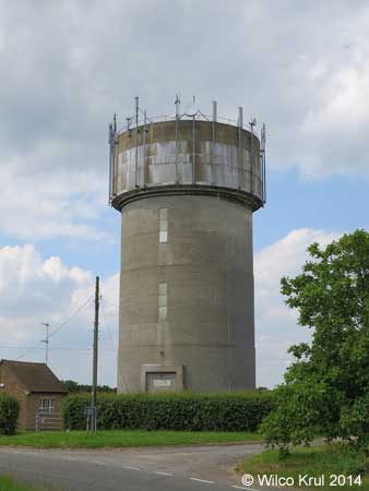
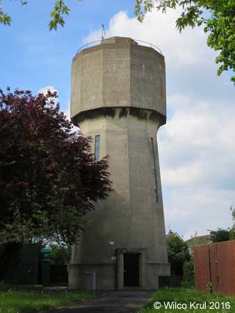
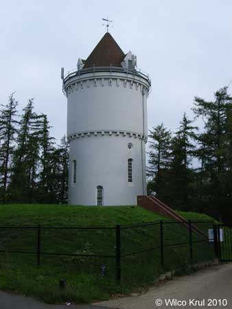
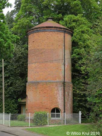
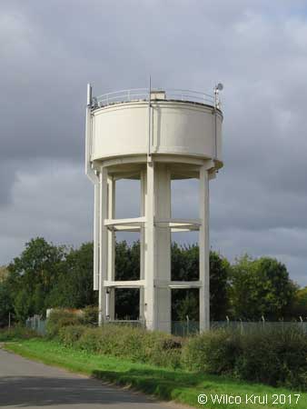
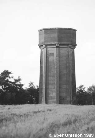
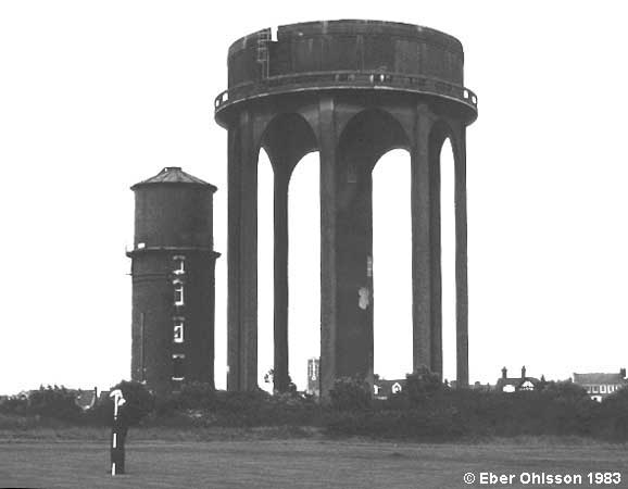
Abbotsley, Cambridge Road
N 52.2245 – W 0.2149
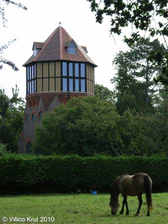
Abbots Ripton, Clay Lane
N 52.3888 – W 0.2039
Balsham, West Wickham Road
N 52.1252 – E 0.3213
Bluntisham, Bluntisham Heath Road (old)
N 52.3574 – W 0.0042
Bluntisham, Bluntisham Heath Road (new)
N 52.3582 – W 0.0021
Cambourne, St. Neots Road
N 52.1970 – E 0.4229
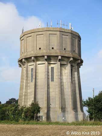
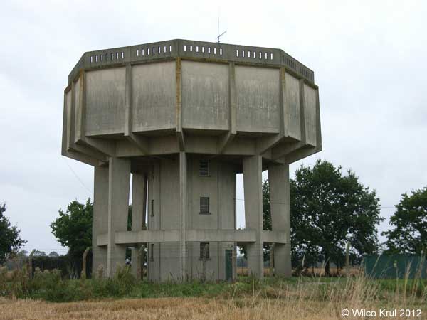
Chatteris, Eastwood
N 52.4489 – E 0.0509
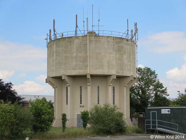
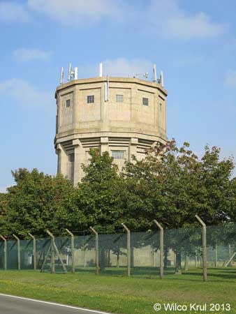
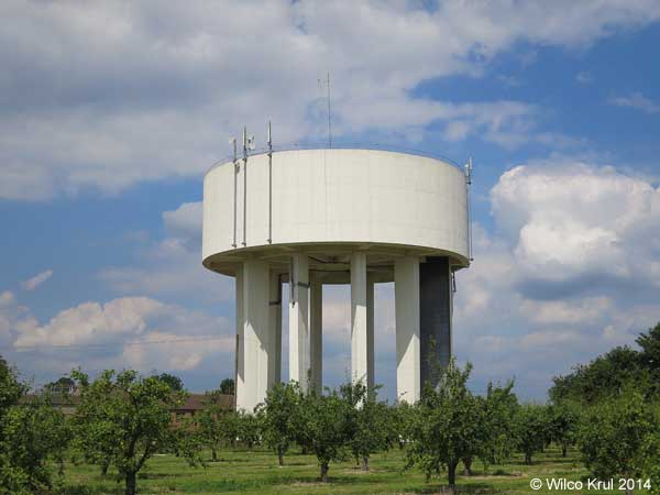
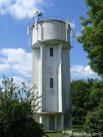
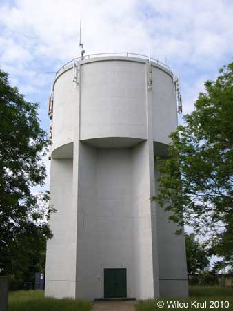
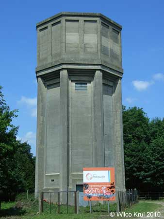
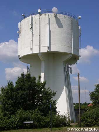
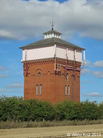
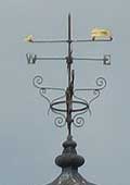
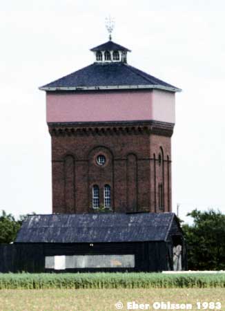
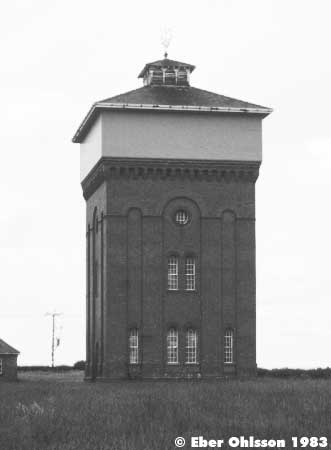
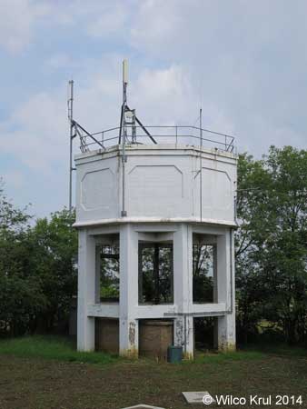
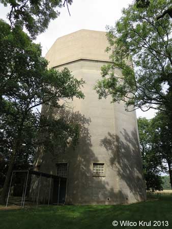
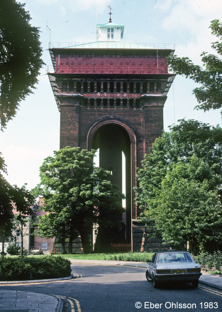
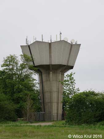
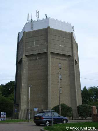
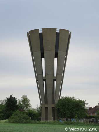
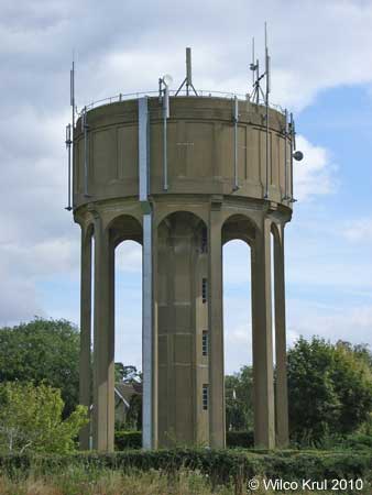
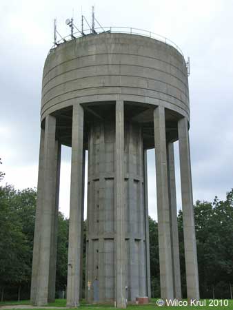
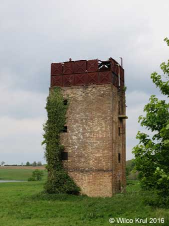
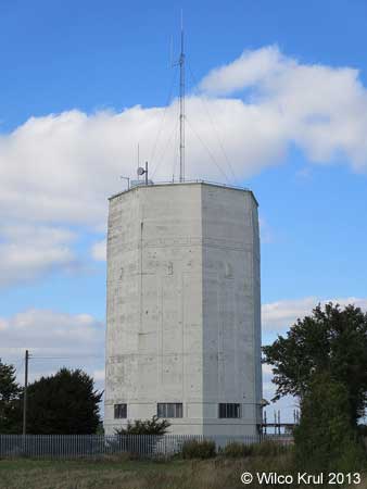
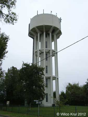
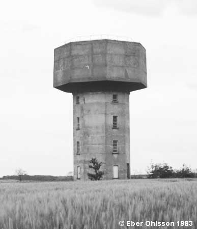
Conington, Conington Lane (former Glatton Air Base)
N 52.4583 – W 0.2794
Wilco Krul:
The water tower near Conington is a ‘symbol of remembrance’. This water tower is also depicted on a memorial plaque, which is located next to the water tower. The text on this memorial plaque reads:
GLATTON AIR BASE
1944 1945
The WATER TOWER that stands before you is the only remaining significant structure of the Glatton Air Base.
Construction of this base (Station 130) was completed by the 809th Engineer Battalion (Aviation) of the United States Army in late 1943. It was home for the 457th Bomb Group (H) of the U.S. Army Eighth Air Force in 1944-45.
Today this tower stands alone, like a silent sentinel, providing a visual landmark for those 457th Airmen who did not return from that last mission.
It is a symbol of remembrance for all Airmen who fought in WWII for the cause of freedom.
[emblem of the 457th Bombardment Group (Heavy)]
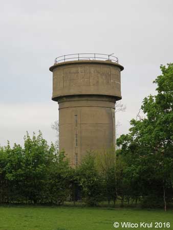
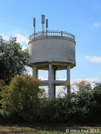
Cottenham, Manse Drive (converted)
N 52.2856 – W 0.1157
Ditton Green, Stetchworth Road
N 52.2250 – W 0.0692
East Perry, Crow Spinney Lane
N 52.2874 – W 0.3178
Eaton Socon, Bushmead Road
N 52.2207 – W 0.2977
Ely, Heaton Close
N 52.4124 – E 0.2795
Ely, Tower Road
N 52.3956 – E 0.2527
Grafham, Buckden Road
N 52.3067 – W 0.2967
Great Gransden, Caxton Road
N 52.1922 – W 0.1308
Haddenham, Wilburton Road
N 52.3544 – E 0.1535
Huntingdon, Brampton Road
N 52.3307 – W 0.1937
Littleport, Grange Lane
N 52.4484 – E 0.2952
Longstowe
N 52.1666 – W 0.1084
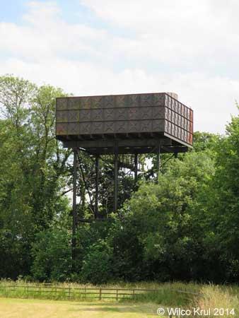
Mill Green
N 52.0812 – E 0.3682
Over, Willingham Road
N 52.3075 – E 0.0299
Sapley, St Peters Road
N 52.3509 – W 0.1830
Sawston, Babraham Road
N 52.1276 – E 0.1747
Soham, Fordham Road
N 53.3184 – E 0.3676
Swaffham Prior, Mill Hill
N 52.2535 – E 0.3015
Yelling, High Street
N 52.2466 – W 0.1746
Central Bedfordshire
Heath and Reach, Eastern Way
N 51.9444 – W 0.6455
Langford, Edworth Road
N 52.0471 – W 0.2292
Meppershall, Stondon Road
N 52.0089 – W 0.3331
Potton, Hatley Road
N 52.1293 – W 0.1793
Pulloxhill, Higham Bury Lane
N 51.9909 – W 0.4575
Ridgmont, Eversholt Road
N 52.0132 – W 0.5789
Essex
Church Langley, Challinor
N 51.7611 – E 0.1526
Colchester, Balkene Gardens
N 51.8896 – E 8.8951
Läs om vattentornet – Ebers vattentorn – Cirkulation nr 5/2001.
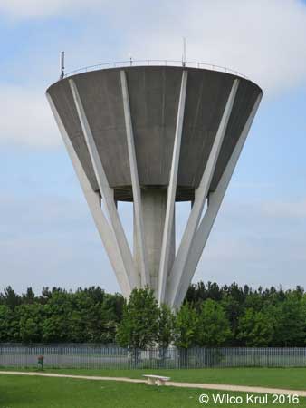
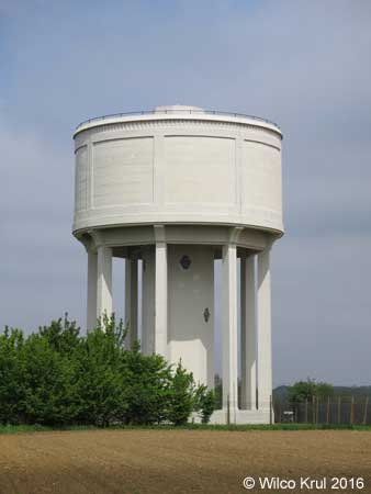
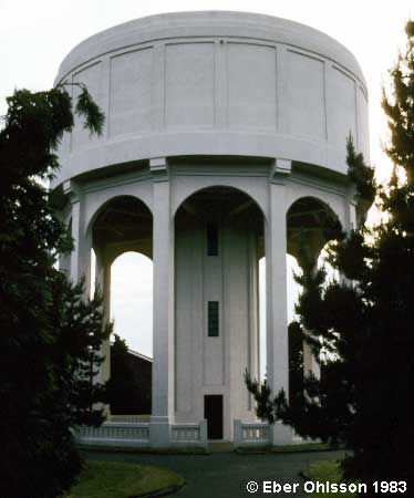
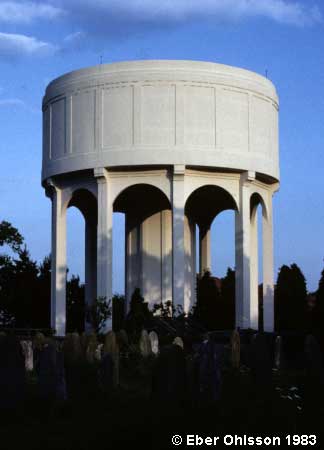
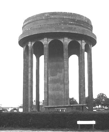
Pelare eller strävor som bär upp ett vattentorn skall inte bara på ett säkert sätt fylla sin funktion, utan skall också visuellt övertyga betraktaren om det. Betongvattentornet i Trent Park i Cockfosters i norra London gör förhoppningsvis detta. Byggherre var dåvarande Lee Valley Water Company, med cheferna J.W. Milne och E.H. Riley.
De raka strävorna bildar ett effektfullt flätat hyperboliskt gallerverk, där varje sträva lutar 120° mot markplanet. Tornet, där det en tid fanns planer på att ha restaurang överst, är från 1968 och har en reservoar på 1 130 m³. Det ägs i dag av Veolia Water UK.
Ladda ner Cirkulations version som en pdf-fil.
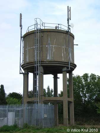
Havering-atte-Bower, Broxhill Road
N 51.6166 – E 0.1900
Rye Hill, Rye Hill Road
N 51.7399 – E 0.0975
Hertfordshire
Albury, Parsonage Lane
N 51.9001 – E 0.0673
Berkhamsted, Shootersway
N 51.7545 – W 0.5798
Bishop’s Stortford, Hadham Road
N 51.8785 – E 0.1396
Bishop’s Stortford, Heath Row
N 51.8797 – E 0.1815
Brookmans Park, Kentish Lane
N 51.7307 – W 0.1750
Essendon, High Road
N 51.7589 – W 0.1540
Felden, Featherbed Lane
N 51.7335 – W 0.4928
Gaddesden Row, Gaddesden Row
N 51.8070 – W 0.4812
Great Gaddesden, Hoo Wood
N 51.8021 – W 0.5031
Hemel Hempstead, Farmhouse Lane
N 51.7639 – W 0.4470
Little Wymondley, Tower Close
N 51.9285 – W 0.2344
London Colney, Beningfield Drive
N 51.7221 – W 0.3118

Old Hall Green
N 51.8837 – W 0.0173
Tea Green, Stony Lane
N 51.8960 – W 0.3493
Tonwell, Temple Lane
N 51.8390 – W 0.0635
Weston, Mill Lane
N 51.9582 – W 0.1665
Whitwell, Horn Hill
N 51.8727 – W 0.2901
Lincolnshire
Grantham, Gorse Lane
N 52.8924 – W 0.6487
Pinchbech, Knight Street
N 52.8177 – W 0.1671
Sutterton, Spalding Road
N 52.9025 – W 0.0938
Norfolk
Bowthorpe, Barnard Road
N 52.6433 – E 1.2107
Caister on Sea, Ormesby Road
N 52.6580 – E 1.7162

Diss, Louie’s Lane
N 52.3808 – E 1.1038 N 52.3806 – E 1.1041
East Carleton, Water Tower Road
N 52.5713 – E 1.1999
Fakenham, Holt Road (demolished)
N 52.8363 – E 0.8588
Fakenham, Holt Road
N 52.8354 – E 0.8591
Hethersett, Great Melton Road
N 52.6020 – E 1.1695
Kenninghall, East Harling Road
Kilverstone, Kilverstone Hall
N 52.4227 – E 0.7801
North Lopham, High Common Road
N 52.4026 – E 0.9906
Norwich, Montcalm Road
N 52.6309 – E 1.3165
Welney, Main Street
N 52.4227 – E 0.7801
Suffolk
Bedingfield, Bedingfield Road
N 52.2705 – E 1.1843
Blythburgh
N 52.3115 – E 1.5983
Botesdale, Bury Road
N 52.3470 – E 1.0191
Bradfield St. Clare, Felsham Road
N 52.1849 – E 0.7972
Crowfield, Ipswich Road
N 52.1716 – E 1.1508
Depden, Wickhambrook Road
N 52.1881 – E 0.5857
Elmswell, Ashfield Road
N 52.2552 – E 0.9216
Elveden
N 52.3669 – E 0.6762
Elveden, Chalk Hall
N 52.3790 – E 0.6528
Finningham, Station Road
N 52.2760 – E 1.0251
Gazeley, Moulton Road
N 52.2512 – E 0.5098
Haverhill, Moor Pasture Way
N 52.0986 – E 0.4427
Lavenham, Bury Road
N 52.1296 – E 0.7952
Lowestoft, Pakefield
N 52.4481 – E 1.7243
Lowestoft, Stradbroke Road
N 52.4543 – E 1.7279
Middlewood Green
N 52.2085 – E 1.0653
Risby
N 52.2717 – E 0.6246
Risby, Welham Road
N 52.2663 – E 0.6237
Southwold, York Road
N 52.3273 – E 1.6705 N 52.3272 – E 1.6704
Stowlangtoft, Kiln Lane
N 52.2922 – E 0.8742