Château d’eau: Région Occitanien
Département 09
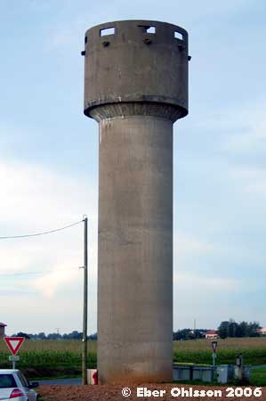
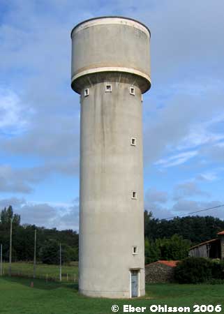
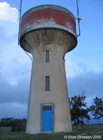
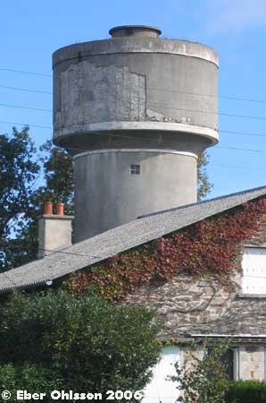
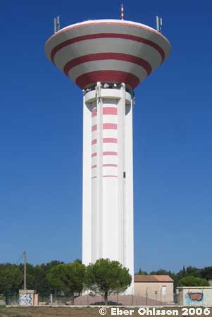
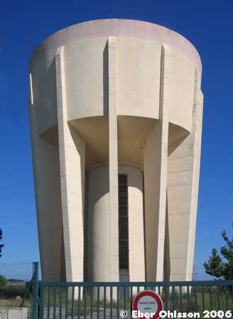
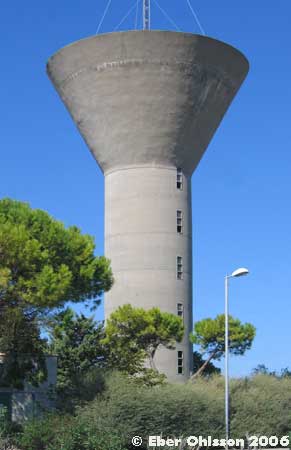
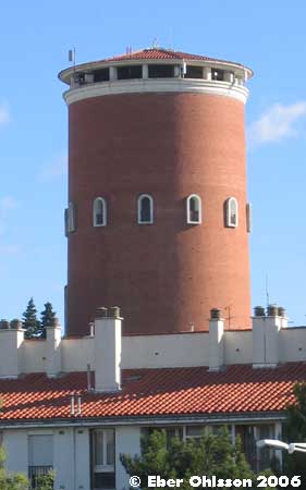
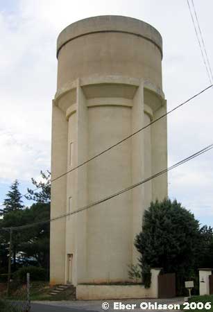
Pamiers, Rue de la Gloriette
N 43.1079 – E 1.6150
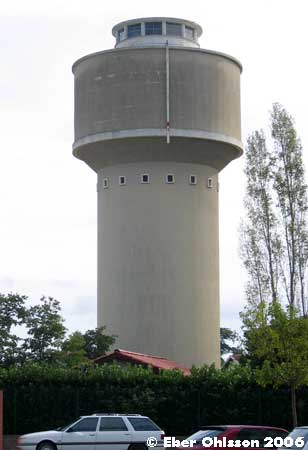

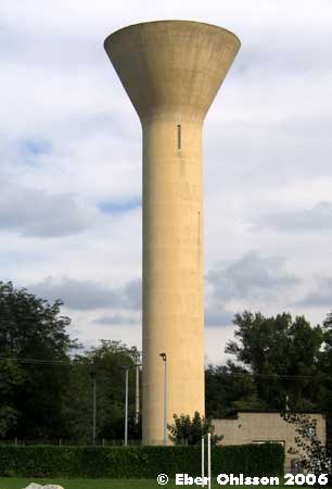
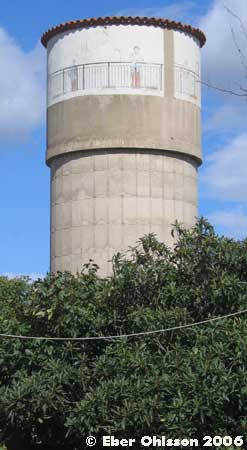
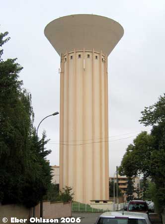
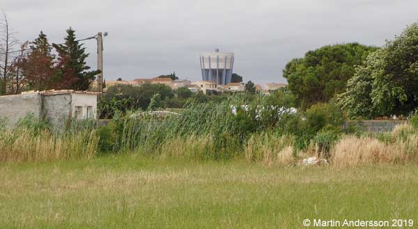
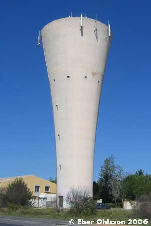
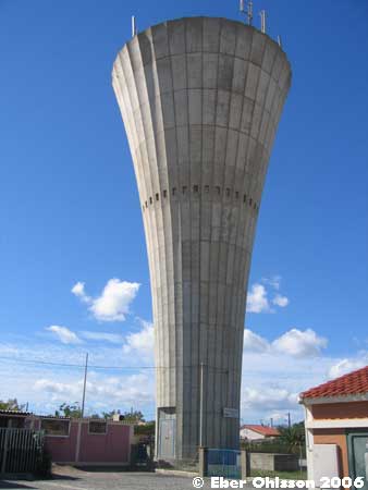
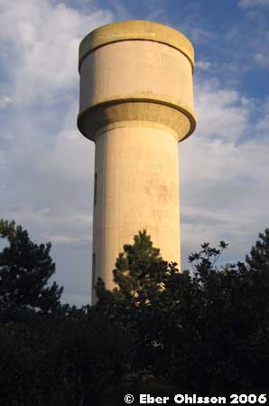
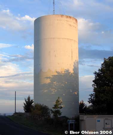
Saint Jean-du-Falga, Rue 1000 Hommes
N 43.0992 – E 1.6246
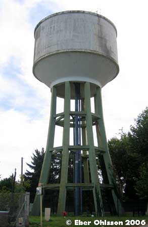
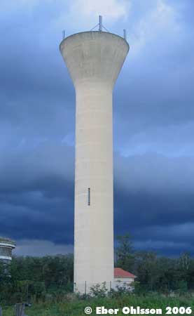
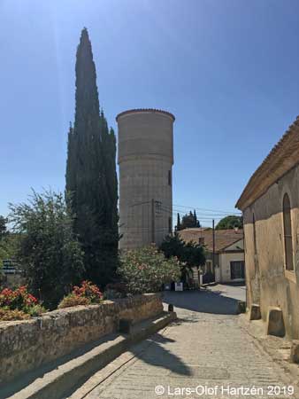
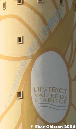
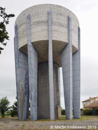
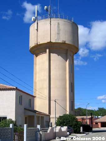
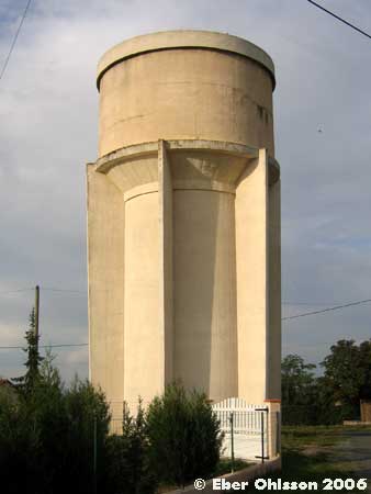
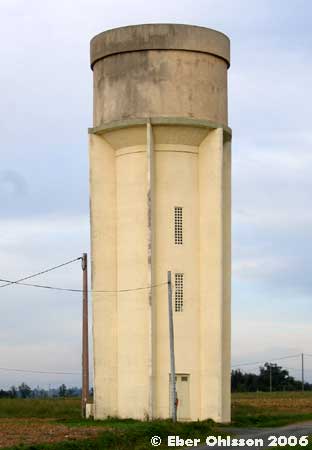
Saint Jean-du-Falga, Rue du Château d’Eau
N 43.0496 – E 1.6375
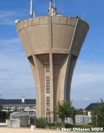
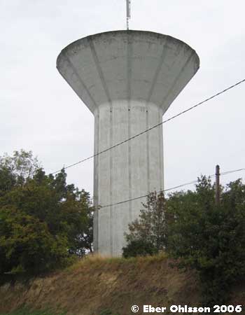
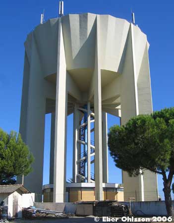
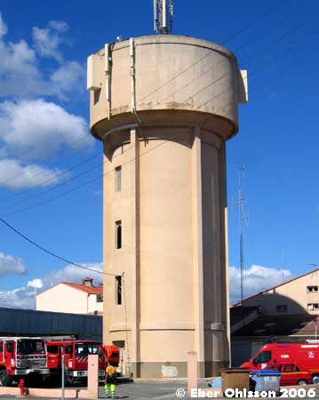
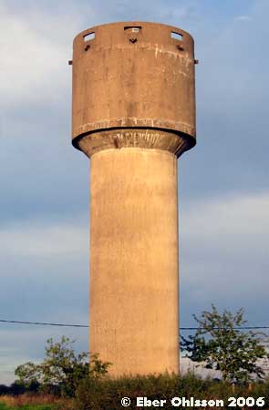
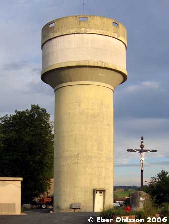
La Tour-du-Crieu, Rue des Anciens
N 43.0992 – E 1.6866
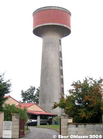
le Vernet, N Route Nationale
N 43.1866 – E 1.6103
le Vernet, Plaine d’Embayonne (agrarian)
N 43.1947 – E 1.6099
Département 11
Marseillette, Imp. du Château d’Eau
N 43.2038 – E 2.5437
Orsans, La Garenne
N 43.1611 – E 1.9860
St Nazaire-d’Aude, Le Somail
N 43.2660 – E 2.9037
Département 12
Luc-La-Primaube, Rue le Buissonnet
N 44.2907 – E 2.5636
Luc-La-Primaube, Le Boissonnade
N 44.3103 – E 2.5562

Olemps, Rue du Château d’Eau
N 44.3405 – E 2.5582

Pont-de-Salars, Cité Beau Soleil
N 44.2861 – E 2.7195
Département 30
Le Grau-du-Roi, Rue François de Mirman
N 43.5267 – E 4.1520
Nimes
Département 31
Auterive, Route de Toulouse
N 43.3598 – E 1.4637

Blagnac, Rue du Château d’Eau
N 43.6244 – E 1.3954
Flourens, Chemin Lalie Cisarol
N 43.5853 – E 1.5696
Lanta, Chemin des Écoles
N 43.5621 – E 1.6575
Lauzerville, Doumenjou
N 43.5621 – E 1.6575
Roques-sur-Garonne, Avenue de Fraixinet
N 43.5126 – E 1.3678
Saint Orens-de-Gameville, Place de la Poste
N 43.5550 – E 1.5332
Saint Pierre-des-Lages, Avenue de Lanta
N 43.5726 – E 1.6153
Toulouse, Place Laganne
N 43.5987 – E 1.4369
Läs om vattentornet – Ebers vattentorn – Cirkulation nr 1/2008.
Charles Laganne i den sydfranska staden Toulouse efterlämnade 1822 en stor summa pengar för att möjliggöra distribution av rent, klart och angenämt vatten, där källan var floden Garonne. 1828 fick 60 000 personer nytta av en anläggning med både filter och vattentorn.
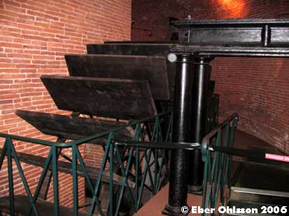
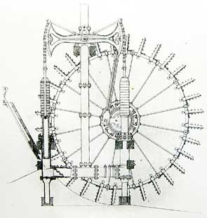
I tegelvattentornet fanns i den nedre delen skovelhjul för vattenpumpning och i övre delen reservoarer. Då kapacitetskraven ökade, förlorade tornet 1870 sin ursprungliga funktion, men blev 1943 en historisk byggnad. Idag är vattentornet konstgalleri och fotomuseum, där de gamla pumparna förhöjer attraktionsvärdet.
Ladda ner Cirkulations version som en pdf-fil.
Sign at the tower
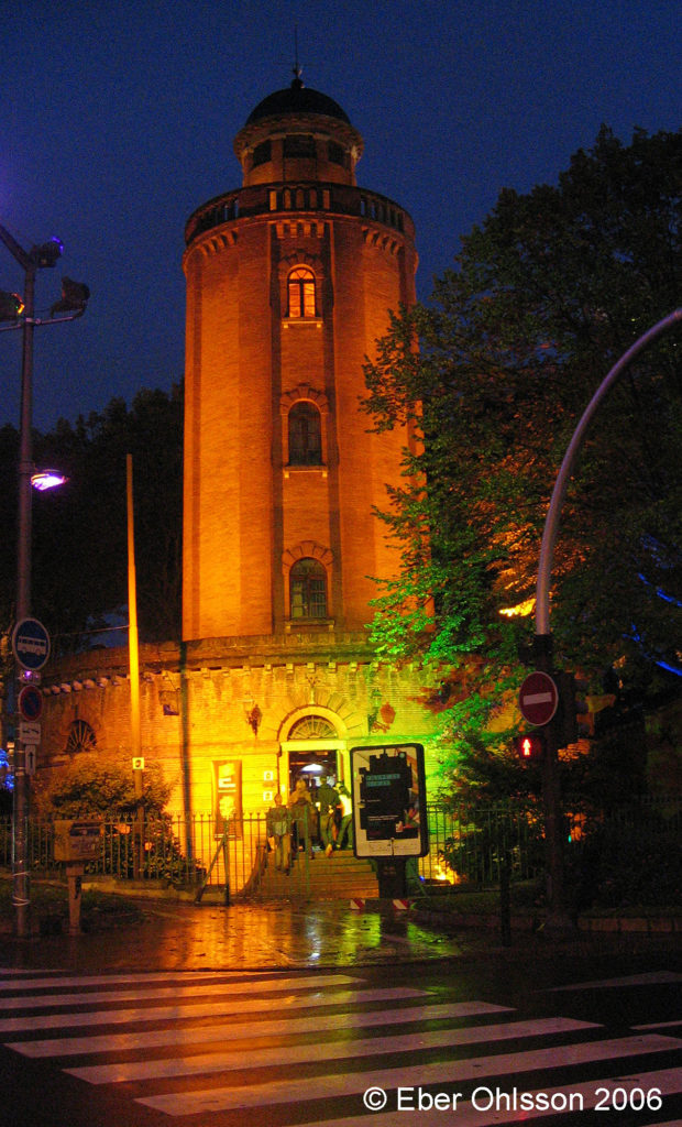
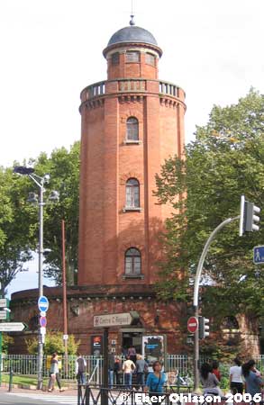
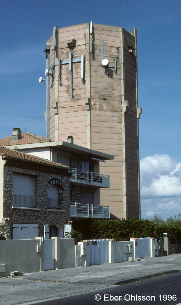
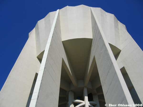
Le château d’Eau Laganne.
Les Romains, soucieux de boire une eau pure, allaient la chercher à la source, dans les coteaux, et I’amenaient à la ville au prix de longs aqueducs. Par la suite, les marchands d’eau toulousains se contentèrent de puiser I’eau à même le fleuve, créant des problèmes chroniques de qualite et d’insuffisance de distribution.
Pour tenter de mettre fin à cette pénurie latente, le capitoul Charles Laganne légua, en 1789, 50000 pièces d’or à la Ville. Le château d’Eau, qui porte son nom, ne fut toutefois construit qu’en 1823, année par ailleurs marquée par la naissance de la photographie. L’eau puisée sous I’actuel pont Saint-Michel, débarrassée de ses boues dans la prairie des Filtres, puis stockée dans le château d’Eau, alimentait les quatre-vingt dix fontaines publiques de Toulouse. Trente ans plus tard I’eau courante parvenait au domicile même des Toulousains, et le château d’Eau se trouvait abandonné dès 1870.
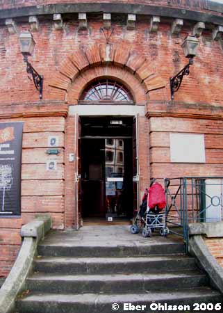
En 1974, la photographie lui a donne une nouvelle jeunesse en y implantant une galerie, devenue la plus ancienne et la plus fréquentée de France.
Sign at the tower
This water tower, today widely renowned as on exhibition centre, was named after the Capitoul Laganne who, in 1789 bequeathed a sizeable amount of his fortune so that water should become public property and accessible to all inhabitants of Toulouse.
El depósito de agua, hoy dia sala de exposiciones de renombre, lleva el nombre del regidor Laganne, que legió en 1789 una parte generoso de su fortuna para que el agua se convirtiera en un bien público accesible a Lodos los habitantes de Toulouse.
Toulouse, Hôpital Marchant
N 43.5596 – E 1.4191
Toulouse, Chemin Lafilaire
N 43.5965 – E 1.4774
Vernet, Avenue de Labarthe
N 43.4390 – E 1.4225
Département 34
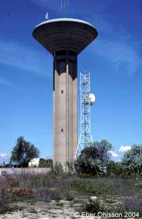
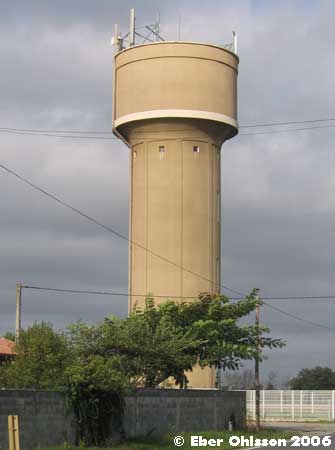
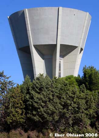
Carnon-Plage, Avenue Grassion Cibrand
N 43.5508 – E 3.9996
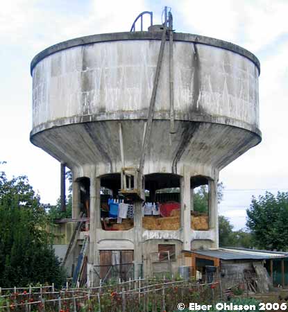
Läs om vattentornet – Ebers vattentorn – Cirkulation nr 1/2007.
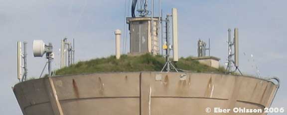
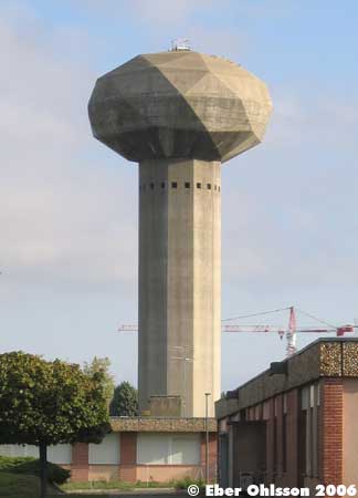
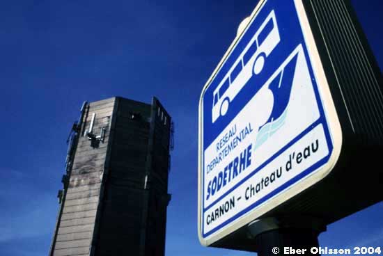
Måste ett vattentorn vara vackert? Inte alltid, vilket vattentornet i Carnon-Plage i södra Frankrike bär syn för sägen. Det behöver inte vara vackert, bara det fyller sin funktion – att vara fästpunkt för mobiltelefonanläggningar. Tornet har även fått uppgiften att vara namngivare för busshållplatsen vid tornet – Carnon, Chateau d’eau.
Dessutom har vattentornet, förhoppningsvis, även funktionen att leverera gott dricksvatten till abonnenterna på den av saltbemängda vindar utsatta sandreveln utanför Montpelliers kust, halvvägs mot den stora semesterorten la Grande-Motte.
Ladda ner Cirkulations version som en pdf-fil.
La Caunette, Rue de la Poterie
N 43.3490 – E 2.7864
Lattes
N 43.5851 – E 3.9159
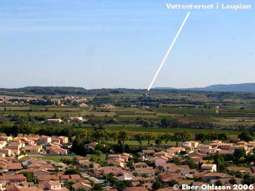
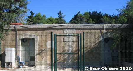
Loupian
N 43.4468 – E 3.6202
Lunel, Route de Restinclières
N 43.6799 – E 4.1216
Lunel-Viel, Chemin de la Tour de Farges
N 43.6792 – E 4.0778
Marseillan, Avenue de Pomerols
N 43.3636 – E 3.5262

From the book: “Marseillan & a Lot of Languedoc: Lazy France: How to be Very Very Lazy in Marseillan and a Lot of Languedoc.“
Every town, every village, has its water tower: a vast container suspended above the fields, assuring water pressure for farmers and village houses alike. The makeover of this particular tower was one of the popular grands projets of Mayer William Merric’s regime: a grand mosaic on the skyline, celebrating the bounty of the étang amid the treasures of the soil.
Architect and designer Marnix Verstraeten was invited to transform the edifice. Verstraeten proposed cladding the tower with a great collage of oyster shells. Representing the maritime history of the port and village, this beacon of mother of pearl cache shimmers in the ever changing light, reflecting sunrise and sunset, skimming clouds and watery sunshine in a glistening wave that seems to flicker and glisten from dawn to moonrise.
Under supervision of another architect, Luc de Kerpel, and ten experienced shell artists, a team of 30 toiled for six weeks between March and May 2007 until they had covered all 2 000 square metres of the tower with the designer’s patterns in the form of a seascape of waves. High winds and spring mistrals made the task of completing around 30 square metres each day a noble challenge for the team, who worked on 24 separate sections to create an oeuvre that would stand the tests of climate and time.
Each of 200,000 shells, harvested from restaurants around the Basin de Thau had been prepared for the worst: Every shell was rinsed and soaked in special baths to avoid damaging the finish, finally lain out in the sun to dry naturally over several days. Once all had been placed around the tower and the mosaic complete, two coats of varnish were applied, ready for the official unveiling by the mayor on 9 May. Twenty-three metres high, and over 18 metres in diameter, the ultimate in designer shell-ware perches high above the village on bright blue pylons: bringing horizon and water ever closer to the terre of Marseillian.
Mèze, Route Pézenas
N 43.4331 – E 3.5942
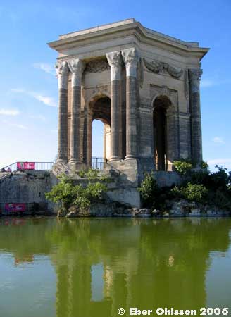
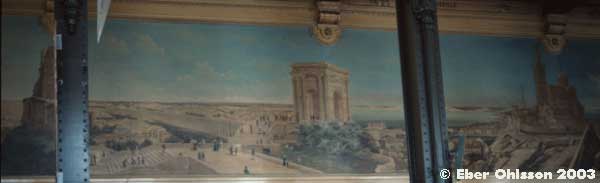
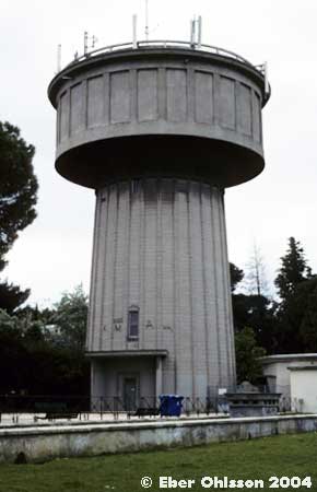
Montpellier, Promenade du Peyrou
N 43.6114 – E 3.8690
Läs om vattentornet – Ebers vattentorn – Cirkulation nr 1/2006.
Château d’eau, det franska ordet för vattentorn, kallas den berömda anläggning som finns i Montpellier, en stad i södra Frankrike. I vår nomenklatur skulle tornet i stället benämnas markreservoar. Vattenreservoaren, belägen på stadens högsta punkt, ligger nämligen under den med korintiskt kapitäl försedda magnifika hexagonala tempelöverbyggnaden från 1768, ritad av arkitekt Jean Antoine Giral.
Från floden Lez fördes vattnet till reservoaren på en akvedukt, som är 880 m lång och 22 m hög, och är inspirerad av den lite nordligare belägna berömda romerska akvedukten Pont du Gard.
Ladda ner Cirkulations version som en pdf-fil.


Montpellier, Avenue de Lodève
N 43.6107 – E 3.8575
Olonzac
N 43.2928 – E 2.7310
Palavas-les-Flots, Rue Saint-Pierre/Rue Aristide Briand
N 43.5285 – E 3.9320
Läs om vattentornet – Ebers vattentorn – Cirkulation nr 5/2009.
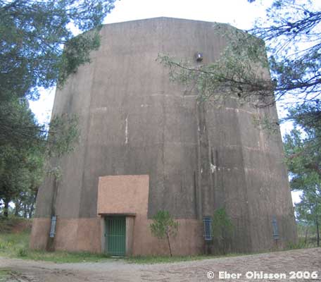
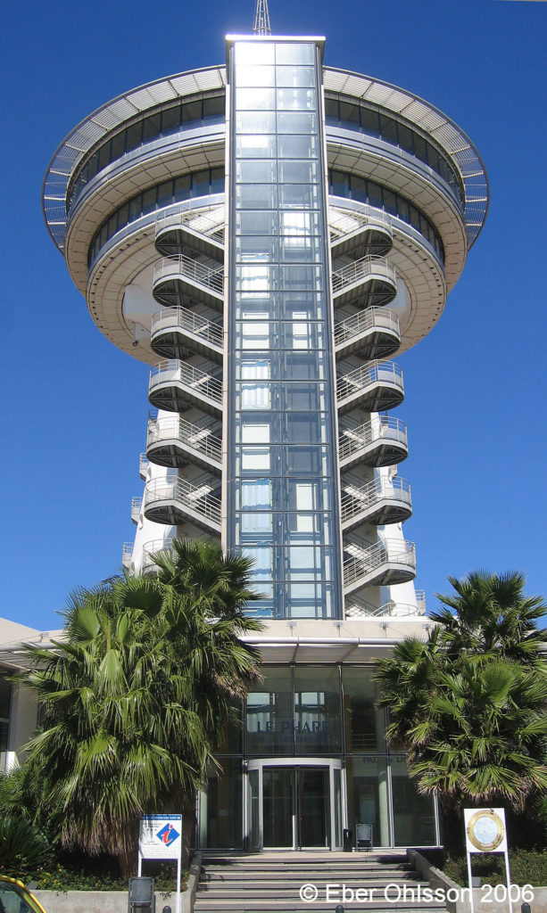
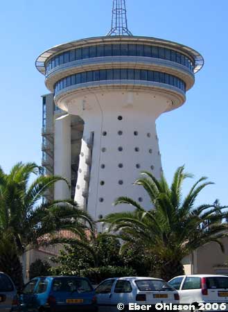
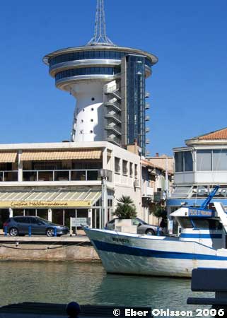
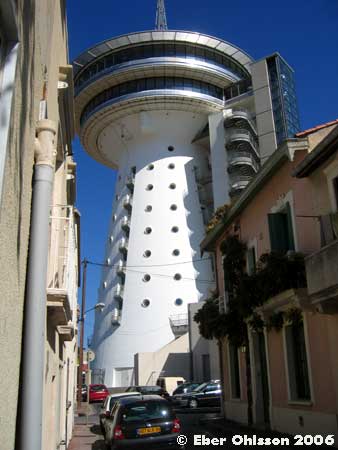
Ett grått betongvattentorn utan fönster blev för några år sedan ombyggt till ett flott konferenscenter med turistbyrå, utsiktsplattform och allra överst en roterande panoramarestaurang med plats för 200 gäster. Kunde förändringen bli så mycket större?
Fyrtornet vid Medelhavet, som tornet nu är döpt till, ligger i semesterorten Palavas-les-Flots vid den franska Medelhavskusten, några kilometer söder om staden Montpellier. När det mörknar skiftar belysningen av tornet i spektras alla färger, och då serverar restaurangen nog färgstarka drycker, som inte bara innehåller vatten.
Ladda ner Cirkulations version som en pdf-fil.
Poussan, Rue du Château d’Eau
N 43.4913 – E 3.6715
Saint-André-de-Sangonis, Avenue Léonce Gaubaudan
N 43.6523 – E 3.5029
Vic-la-Gardiole, Rue du Château d’Eau
N 43.4879 – E 3.7992
Villeneuve-lès-Maguelone
N 43.5392 – E 3.8546
Département 66
Le Barcarès, Rue du Roi René
N 42.8094 – E 3.0341
Le Barcarès, Avenue des Corbières
N 42.7865 – E 3.0336
Canet-en-Roussillon, Rue de l’Autan
N 42.6845 – E 3.0305
Canet-en-Roussillon, Avenue de Catalogne
N 42.6975 – E 3.0334
Sainte Marie la Mer, Avenue de Stade
N 42.7297 – E 3.0254
Perpignan, Avenue Bachaga Said Boualam
N 42.6813 – E 2.9049
Salses-le-Chateau, Avenue François Tubeau
N 42.8309 – E 2.9205
Département 81
Bellegarde, La Bauzié
N 43.9112 – E 2.2899 N 43.9112 – E 2.2900
Carmaux, Avenue Jean-Baptisde Calvignac/Chemin de Capimondis
N 44.0340 – E 2.1792
Cunac, Route de Villefranche
N 43.9274 – E 2.2281
Fréjairolles, Impasse du Pic
N 43.8712 – E 2.2853
Montels, Chemin de las Moussoulieyros/Route de Millau
N 43.9170 – E 2.2682
Mouzieys-Teulet, La Terraille
N 43.8712 – E 2.2853
Puygouzon, Chemin des Crétes
N 43.9010 – E 2.1658
La Sarrade, Route de Villefranche
N 43.9242 – E 2.2477
Villefrache-d’Albigeois, Avenue Millau
N 43.8955 – E 2.3344
Villefrache-d’Albigeois, Avenue de Mouzieys/Vigne de Labadie
N 43.8835 – E 2.3132