| Skånska vattentornssällskapet - Urbanmorfologi Scanian Water Tower Society - Urban Morphology |
| Hem | Vattentorn - Water Towers | Ebers vattentorn | Eber's Water Towers | Observandum |
Vattenblandat |
aVA |
| VA-historia | VA-Profiler | VA-artiklar | VA-litteratur | Akvedukter | Däxlar | Diverse VA | Gästsidor | Länkar |
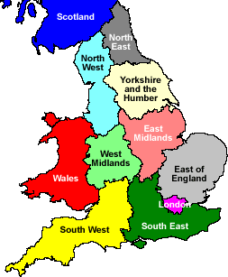
| Great Britain | East of England | East Midlands | Greater London | North East England | North West England | Scotland |
| Regions | South East England | South West England | Wales | West Midlands | Yorkshire and the Humber |
| Water Towers: Region East of England Vattentorn: Region Östra England |
 Abbotsley |
 Abbots Ripton |
 Albury |
 Balsham |
 Bedingfield |
 Berkhamsted |
 Bishop’s Stortford |
 Bishop’s Stortford |
 Bluntisham |
 Bluntisham |
 Blythburgh |
 Botesdale |
 Bowthorpe |
 Bradfield St. Clare |
 Brookmans Park |
 Caister on Sea |
 Cambourne |
 Chatteris |
 Church Langley |
 Colchester |
 Conington |
 Cottenham |
 Crowfield |
 Depden |
 Diss |
 Ditton Green |
 East Carleton |
 East Perry |
 Eaton Socon |
 Elmswell |
 Elveden |
 Elveden |
 Ely |
 Ely |
 Essendon |
 Fakenham |
 Fakenham |
 Felden |
 Finningham |
 Gaddesden Row |
 Gazeley |
 Grafham |
 Grantham |
 Great Gaddesden |
 Great Gransden |
 Haddenham |
 Haverhill |
 Havering-atte-Bower |
 Heath and Reach |
 Hemel Hempstead |
 Hethersett |
 Huntingdon |
 Kenninghall |
 Kilverstone |
 Langford |
 Lavenham |
 Littleport |
 Little Wymondley |
 London Colney |
 Longstowe |
 Lowestoft |
 Lowestoft |
 Meppershall |
 Mill Green |
 Milton Ernest |
 Middlewood Green |
 North Lopham |
 Norwich |
 Old Hall Green |
 Over |
 Pinchbech |
 Potton |
 Pulloxhill |
 Ravensden |
 Ridgmont |
 Risby |
 Risby |
 Rye Hill |
 Sapley |
 Sawston |
 Soham |
 Southwold |
 Stowlangtoft |
 Sutterton |
 Swaffham Prior |
 Tea Green |
 Tonwell |
 Welney |
 Weston |
 Whitwell |
 Yelling |
| Bedford | Cambridgeshire | Central Bedfordshire | Essex | Hertfordshire | Lincolnshire | Norfolk | Suffolk |
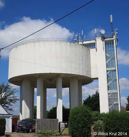
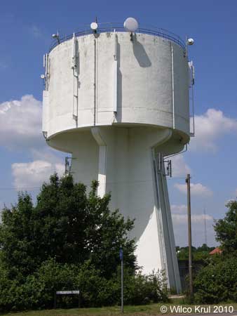
| Bedford |
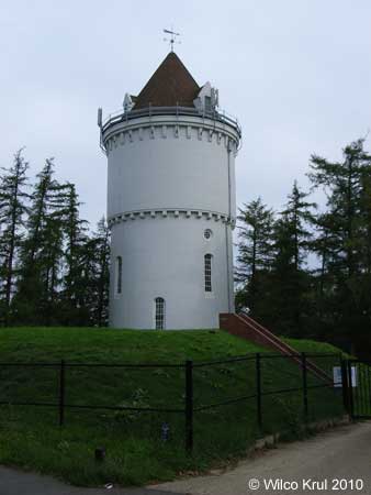
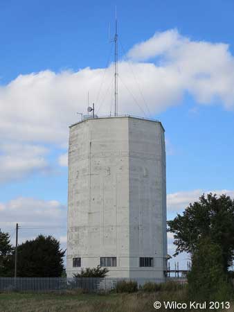
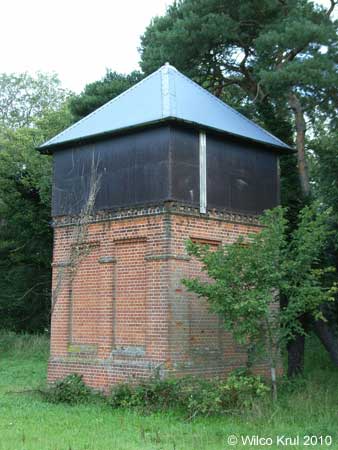
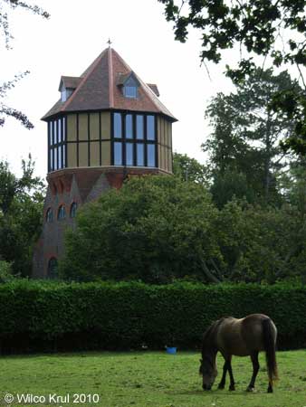
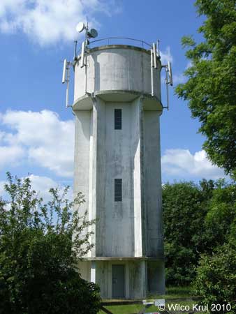
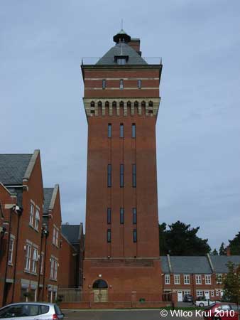
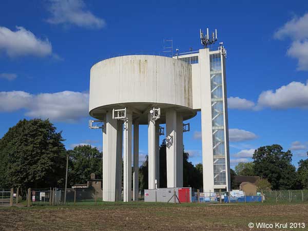
| Milton Ernest, Thurleigh Road N 52.1992 - W 0.4945 |
|
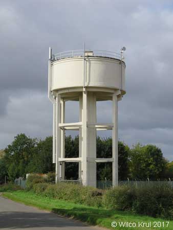
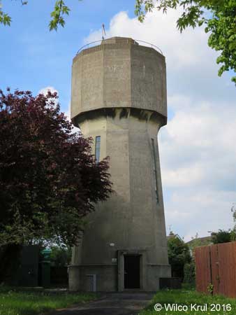
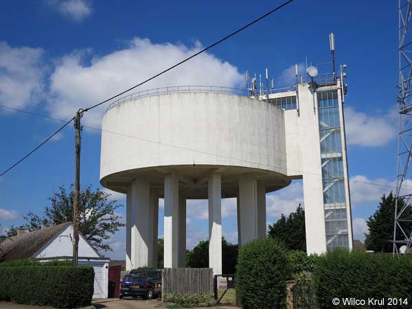
| Ravensden, Sunderland Hill N 52.1898 - W 0.4301 |
|
| Cambridgeshire |
| Abbotsley, Cambridge Road N 52.2245 - W 0.2149 |
|
| Abbots Ripton, Clay Lane N 52.3888 - W 0.2039 |
|
| Balsham, West Wickham Road N 52.1252 - E 0.3213 |
|
| Bluntisham, Bluntisham Heath Road (old) N 52.3574 - W 0.0042 |
|
| Bluntisham, Bluntisham Heath Road (new) N 52.3582 - W 0.0021 |
 |
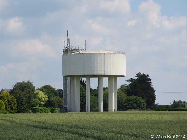
| Cambourne, St. Neots Road N 52.1970 - E 0.4229 |
|
| Chatteris, Eastwood N 52.4489 - E 0.0509 |
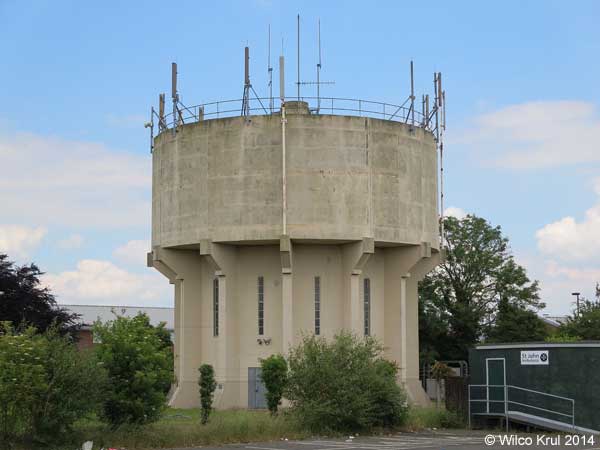 |
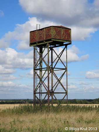
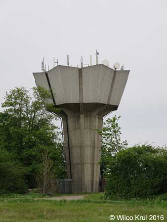
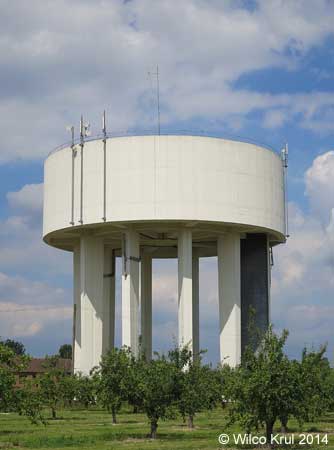
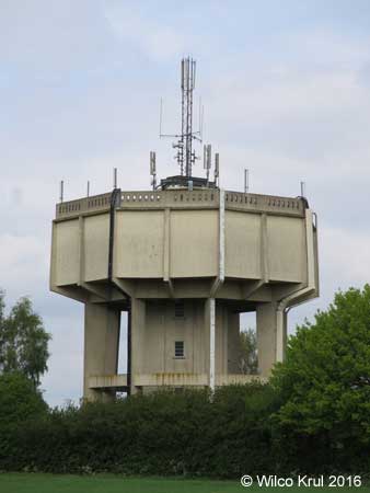
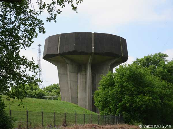
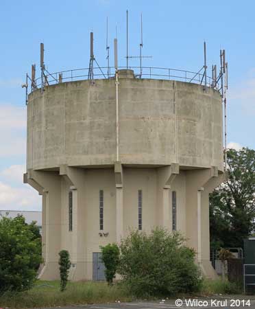
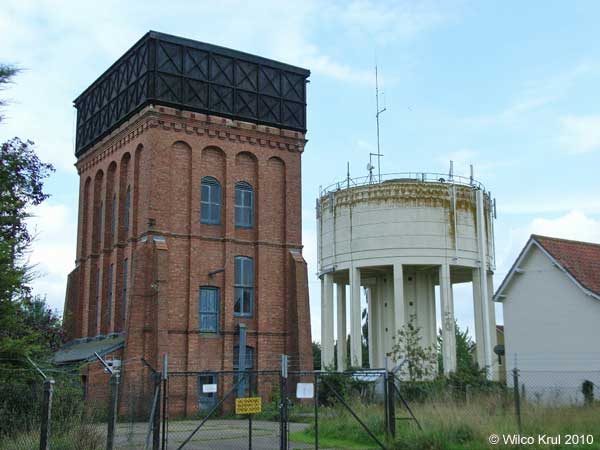
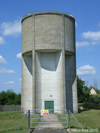
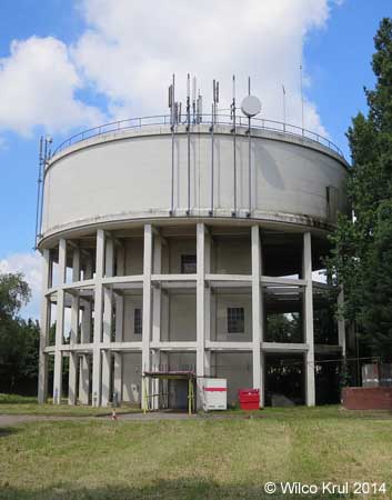
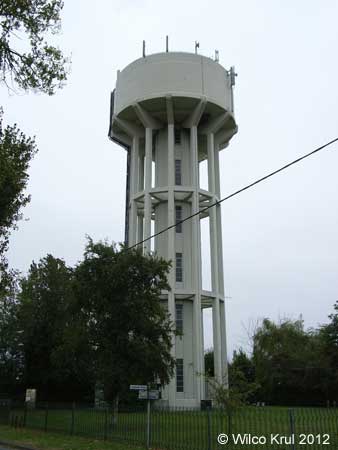
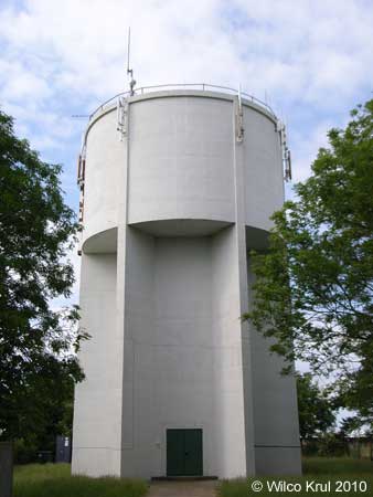
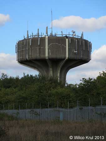
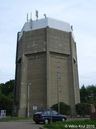
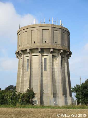
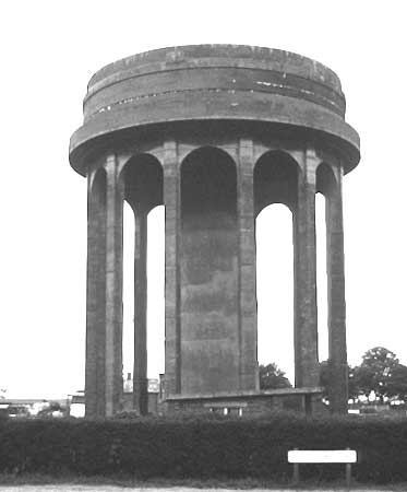
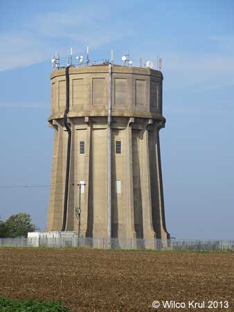
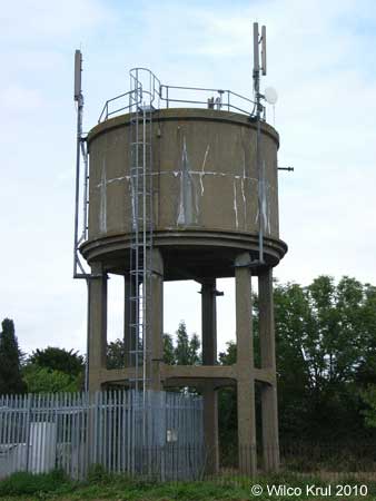
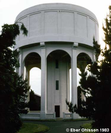
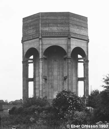
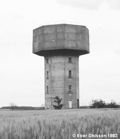
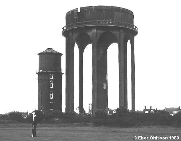
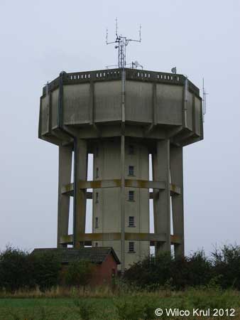
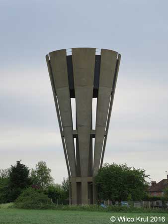
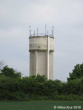
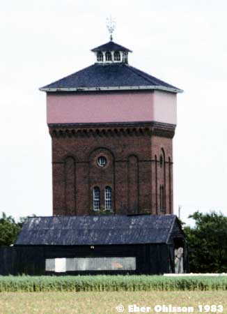
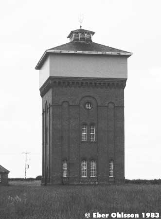
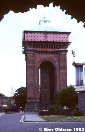
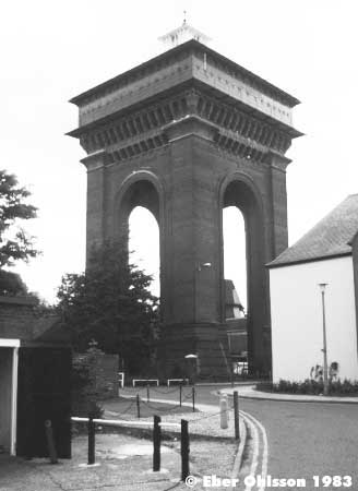
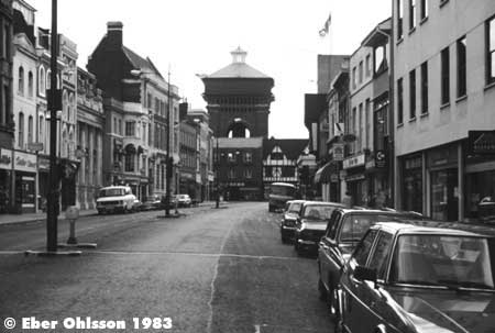
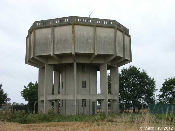
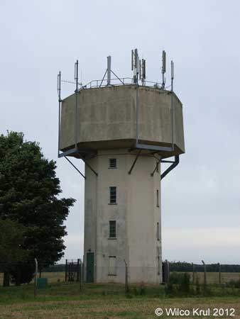
| Conington, Conington Lane (former Glatton Air Base) N 52.4583 - W 0.2794 |
|
| Wilco Krul: |
| The water tower near Conington is a ‘symbol of remembrance’. This water tower is also depicted on a memorial plaque, which is located next to the water tower. The text on this memorial plaque reads: |
 |
GLATTON AIR BASE 1944 1945 The WATER TOWER that stands before you is the only remaining significant structure of the Glatton Air Base. Construction of this base (Station 130) was completed by the 809th Engineer Battalion (Aviation) of the United States Army in late 1943. It was home for the 457th Bomb Group (H) of the U.S. Army Eighth Air Force in 1944-45. Today this tower stands alone, like a silent sentinel, providing a visual landmark for those 457th Airmen who did not return from that last mission. It is a symbol of remembrance for all Airmen who fought in WWII for the cause of freedom.  [emblem of the 457th Bombardment Group (Heavy)] |
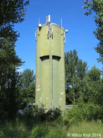
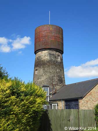
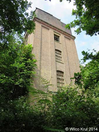
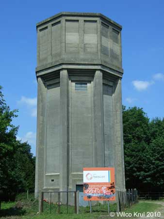
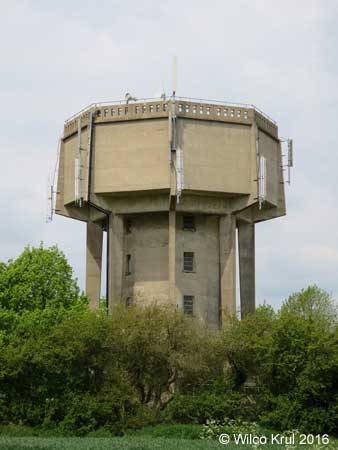
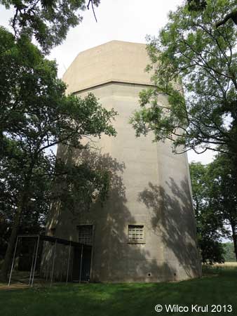
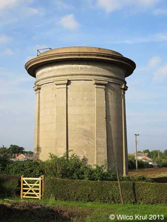
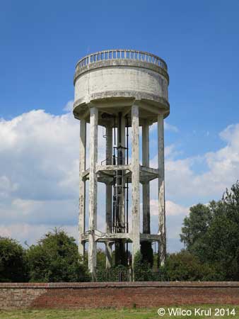
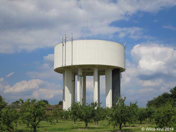
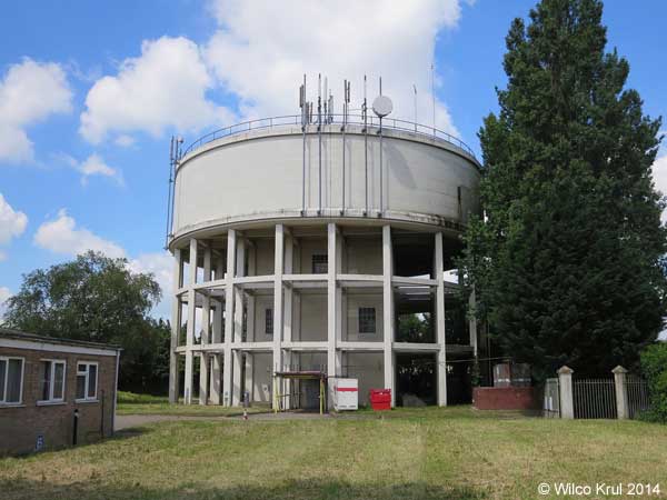
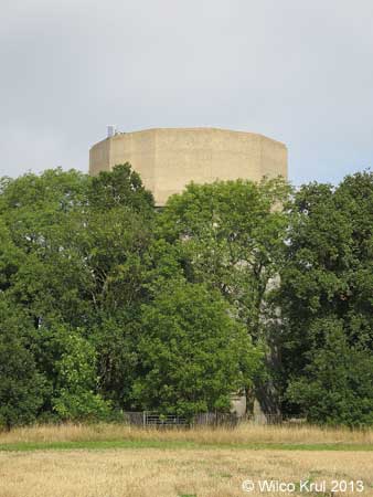
| Cottenham, Manse Drive (converted) N 52.2856 - W 0.1157 |
|
| The water tower in Cottenham was originally a windmill. The windmill was converted to a water tower circa 1903 and the water tower was converted to a house circa 2005. |
| /Wilco Krul |
| Ditton Green, Stetchworth Road N 52.2250 - W 0.0692 |
|
| East Perry, Crow Spinney Lane N 52.2874 - W 0.3178 |
|
| Eaton Socon, Bushmead Road N 52.2207 - W 0.2977 |
|
| Ely, Heaton Close N 52.4124 - E 0.2795 |
 |
| Ely, Tower Road N 52.3956 - E 0.2527 |
 |
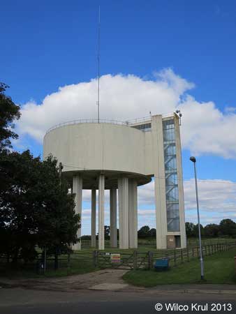
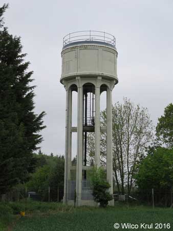
| Grafham, Buckden Road N 52.3067 - W 0.2967 |
|
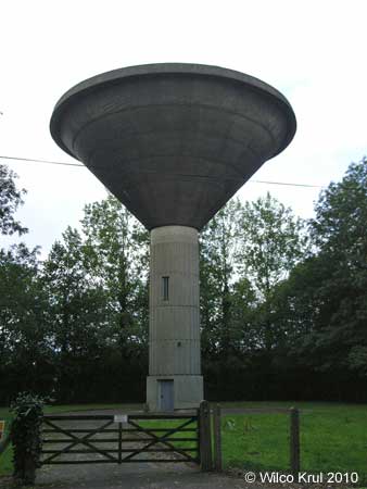
| Great Gransden, Caxton Road N 52.1922 - W 0.1308 |
|
| Haddenham, Wilburton Road N 52.3544 - E 0.1535 |
 |
| Huntingdon, Brampton Road N 52.3307 - W 0.1937 |
|
| Littleport, Grange Lane N 52.4484 - E 0.2952 |
 |
| Longstowe N 52.1666 - W 0.1084 |
|
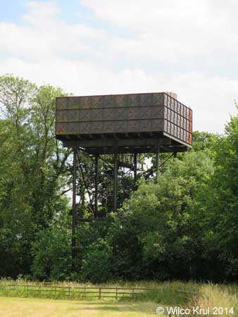
| Mill Green N 52.0812 - E 0.3682 |
|
| Over, Willingham Road N 52.3075 - E 0.0299 |
|
| Sapley, St Peters Road N 52.3509 - W 0.1830 |
|
| Sawston, Babraham Road N 52.1276 - E 0.1747 |
|
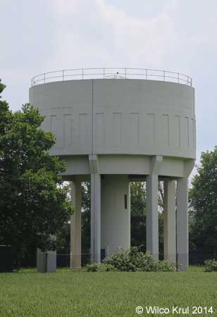
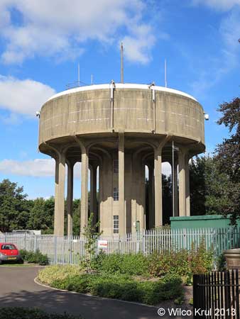
| Soham, Fordham Road N 53.3184 - E 0.3676 |
|
 © Wilco Krul 2013 |
 |
 |
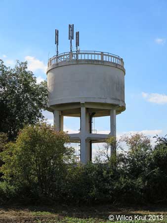
| Swaffham Prior, Mill Hill N 52.2535 - E 0.3015 |
|
| Yelling, High Street N 52.2466 - W 0.1746 |
|
| Central Bedfordshire |
| Heath and Reach, Eastern Way N 51.9444 - W 0.6455 |
|
| Langford, Edworth Road N 52.0471 - W 0.2292 |
|
| Meppershall, Stondon Road N 52.0089 - W 0.3331 |
|
| Potton, Hatley Road N 52.1293 - W 0.1793 |
|
 |
| Pulloxhill, Higham Bury Lane N 51.9909 - W 0.4575 |
|
| Ridgmont, Eversholt Road N 52.0132 - W 0.5789 |
|
| Essex |
| Church Langley, Challinor N 51.7611 - E 0.1526 |
|
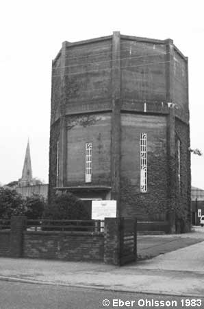
| Colchester |
|
 |
 |
 |
 |
|
|
|
| Havering-atte-Bower, Broxhill Road |
|
| Rye Hill, Rye Hill Road N 51.7399 - E 0.0975 |
|
| Hertfordshire |
| Albury, Parsonage Lane N 51.9001 - E 0.0673 |
|
| Berkhamsted, Shootersway N 51.7545 - W 0.5798 |
|
| Bishop’s Stortford, Hadham Road N 51.8785 - E 0.1396 |
|
| Bishop’s Stortford, Heath Row N 51.8797 - E 0.1815 |
|
| Brookmans Park, Kentish Lane N 51.7307 - W 0.1750 |
|
| Essendon, High Road N 51.7589 - W 0.1540 |
|
| Felden, Featherbed Lane N 51.7335 - W 0.4928 |
|
| Gaddesden Row, Gaddesden Row N 51.8070 - W 0.4812 |
 |
| Great Gaddesden, Hoo Wood N 51.8021 - W 0.5031 |
|
| Hemel Hempstead, Farmhouse Lane N 51.7639 - W 0.4470 |
|
| Little Wymondley, Tower Close N 51.9285 - W 0.2344 |
|
| London Colney, Beningfield Drive N 51.7221 - W 0.3118 |
|
 |
| Old Hall Green N 51.8837 - W 0.0173 |
|
| Tea Green, Stony Lane N 51.8960 - W 0.3493 |
|
| Tonwell, Temple Lane N 51.8390 - W 0.0635 |
|
| Weston, Mill Lane N 51.9582 - W 0.1665 |
|
| Whitwell, Horn Hill N 51.8727 - W 0.2901 |
|
| Lincolnshire |
| Grantham, Gorse Lane N 52.8924 - W 0.6487 |
|
| Pinchbech, Knight Street N 52.8177 - W 0.1671 |
|
| Sutterton, Spalding Road N 52.9025 - W 0.0938 |
|
| Norfolk |
| Bowthorpe, Barnard Road N 52.6433 - E 1.2107 |
|
| Caister on Sea, Ormesby Road N 52.6580 - E 1.7162 |
|
| Diss, Louie's Lane N 52.3808 - E 1.1038 N 52.3806 - E 1.1041 |
|
| East Carleton, Water Tower Road N 52.5713 - E 1.1999 |
|
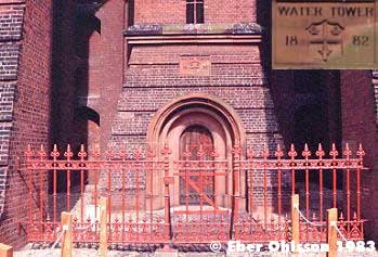
| Fakenham, Holt Road (tower demolished) N 52.8363 - E 0.8588 |
|
| Fakenham, Holt Road N 52.8354 - E 0.8591 |
|
| Hethersett, Great Melton Road N 52.6020 - E 1.1695 |
|
| Kenninghall, East Harling Road N 52.4335 - E 0.9823 |
|
| Kilverstone, Kilverstone Hall N 52.4227 - E 0.7801 |
|
| North Lopham, High Common Road N 52.4026 - E 0.9906 |
|
| Norwich, Montcalm Road N 52.6309 - E 1.3165 |
 |
 |
|
 |
| Welney, Main Street N 52.4227 - E 0.7801 |
|
| Suffolk |
| Bedingfield, Bedingfield Road N 52.2705 - E 1.1843 |
|
| Blythburgh N 52.3115 - E 1.5983 |
|
| Botesdale, Bury Road N 52.3470 - E 1.0191 |
|
| Bradfield St. Clare, Felsham Road N 52.1849 - E 0.7972 |
|
| Crowfield, Ipswich Road N 52.1716 - E 1.1508 |
|
| Depden, Wickhambrook Road N 52.1881 - E 0.5857 |
|
| Elmswell, Ashfield Road N 52.2552 - E 0.9216 |
 |
| Elveden N 52.3669 - E 0.6762 |
|
| Elveden, Chalk Hall N 52.3790 - E 0.6528 |
|
| Finningham, Station Road N 52.2760 - E 1.0251 |
|
| Gazeley, Moulton Road N 52.2512 - E 0.5098 |
|
| Haverhill, Moor Pasture Way N 52.0986 - E 0.4427 |
|
| Lavenham, Bury Road N 52.1296 - E 0.7952 |
|
| Lowestoft, Pakefield N 52.4481 - E 1.7243 |
|
| Lowestoft, Stradbroke Road N 52.4543 - E 1.7279 |
|
| Middlewood Green N 52.2085 - E 1.0653 |
|
| Risby N 52.2717 - E 0.6246 |
|
 |
| Risby, Welham Road N 52.2663 - E 0.6237 |
|
| Southwold, York Road N 52.3273 - E 1.6705 N 52.3272 - E 1.6704 |
|
| Stowlangtoft, Kiln Lane N 52.2922 - E 0.8742 |
|
| Hem Home |
Vattentorn Water Towers |
Water Towers: Great Britain | Upp Up |
| Senast uppdaterad 171117 |