| Skånska vattentornssällskapet - Urbanmorfologi Scanian Water Tower Society - Urban Morphology |
| Hem | Vattentorn - Water Towers | Ebers vattentorn | Eber's Water Towers | Observandum |
Vattenblandat |
aVA |
| VA-historia | VA-Profiler | VA-artiklar | VA-litteratur | Akvedukter | Däxlar | Diverse VA | Gästsidor | Länkar |
| Nederland | Drenthe | Flevoland | Friesland | Gelderland | Groningen | Limburg | Noord-Brabant | Noord-Holland |
| Overijssel | Utrecht | Zeeland | Zuid-Holland |
| Watertorens: Utrecht Water Towers: Utrecht Vattentorn: Utrecht |
 Amersfoort |
 Baarn |
 Baarn |
 Bilthoven |
 Breukelen |
 Bunnik |
 Doorn |
 Lopik |
Maarsbergen |
 Mijdrecht |
 Nieuwegein |
 Rhenen |
 Rhenen |
 Soest |
 Utrecht |
 Utrecht |
 Utrecht |
 Utrecht |
 Utrecht |
 Utrecht |
 Woerden |
 Woudenberg |
 Vianen |
 Zeist |
| Amersfoort, Utrechtseweg N 52.1433 - E 5.3658 |
|
 |
 |
 |
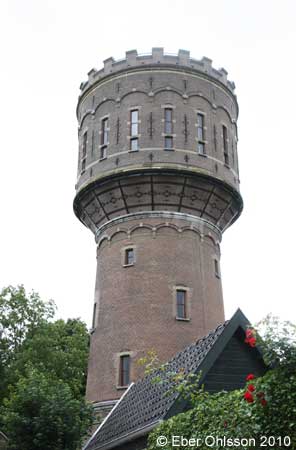
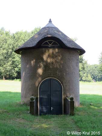
| Baarn, Amsterdamsestraatweg N 52.1952 - E 5.2779 |
 |
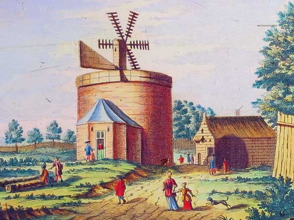 The water tower in Baarn belongs to Paleis Soestdijk (Soestdijk Palace) and it may be the oldest water tower in The Netherlands. It was built in 1678-1683 and provided the fountains in the park with water. The pumps in the water tower were driven by a small windmill on the roof and a horse mill under the reservoir. The water tower in Baarn as it looked like in 1695. /Wilco Krul |
| Baarn, Sophialaan N 52.2117 - E 5.2800 |
|
 |
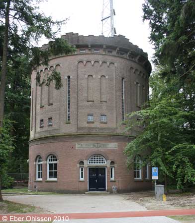
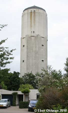
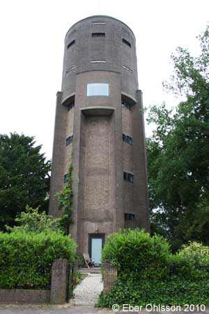
| Bilthoven, Burgemeester van der Borchlaan N 52.1317 - E 5.2188 |
|
 |
 |
 |
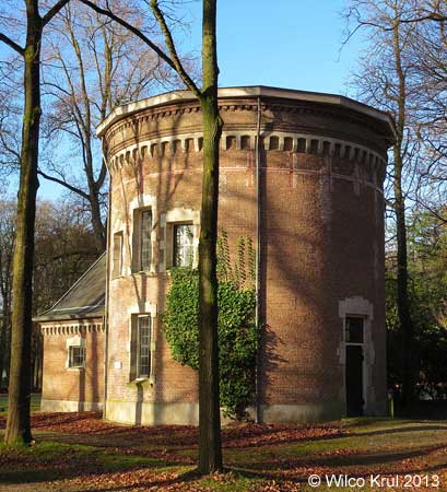
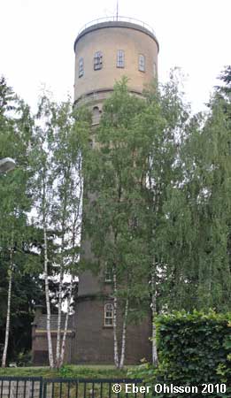
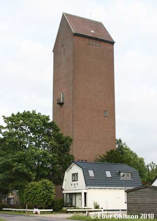
| Breukelen, Watertoren N 52.1853 - E 5.0048 |
|
 |
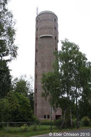
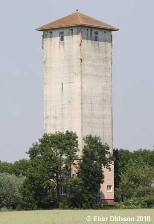
| Bunnik, Watertorenweg N 52.0039 - E 5.2639 |
|
| Doorn, Woestduinlaan N 52.0421 - E 5.3308 |
|
 |
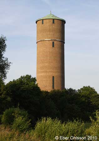
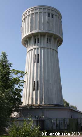
| Lopik, Damweg N 51.9848 - E 4.9110 |
|
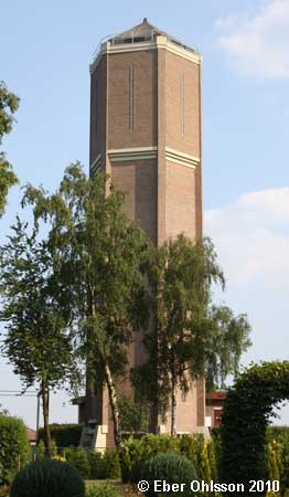
| Maarsbergen, Valkenheide N 52.0406 - E 5.4185 |
 |
| Mijdrecht, Industrieweg N 52.2064 - E 4.8708 |
|
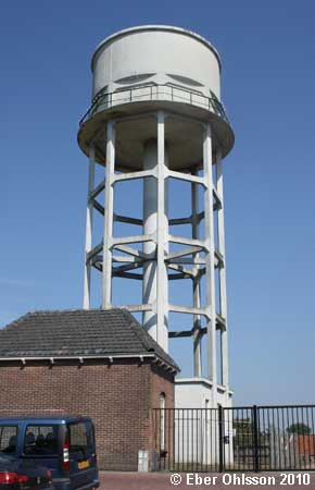
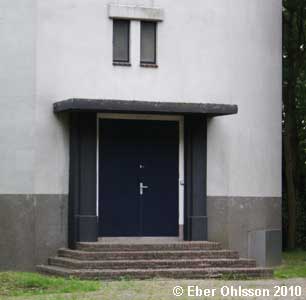
| Nieuwegein, Hooglandse Jaagpad N 52.0160 - E 5.0731 |
|
Sign at the water tower |
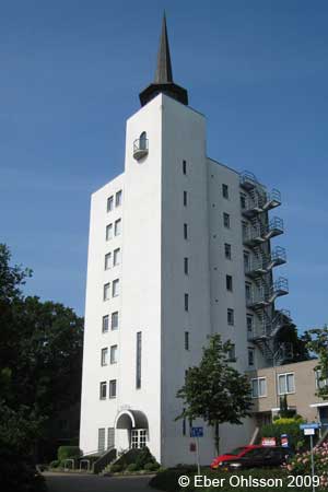
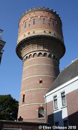
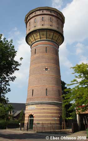
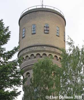
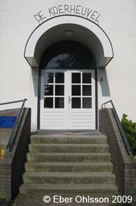
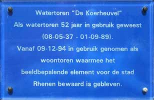
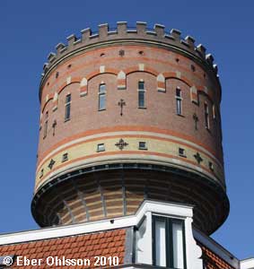
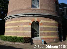
| Rhenen, De Watertoren N 51.9645 - E 5.5641 |
|
 |
 |
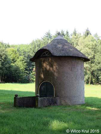
| Rhenen, Oude Veensegrindweg N 51.9817 - E 5.5630 |
 |
|
| Soest, Oranjelaan N 52.1833 - E 5.2908 |
|
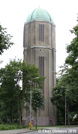
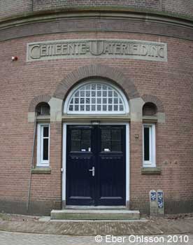
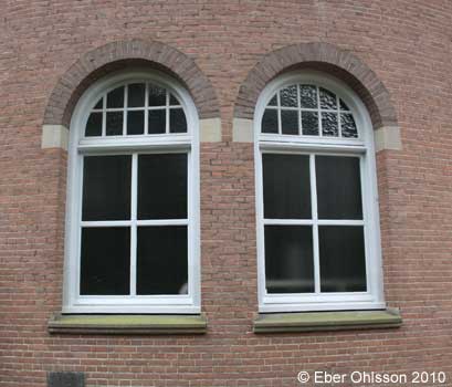
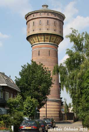
| Utrecht, Amsterdamsestraatweg N 52.1033 - E 5.0951 |
|
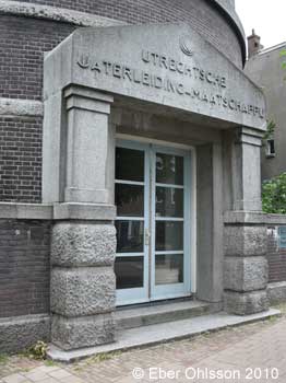 |
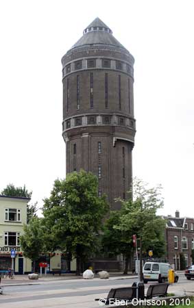
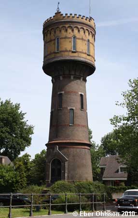
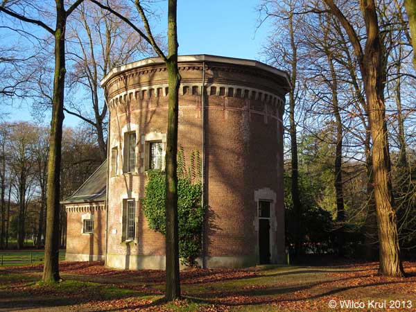
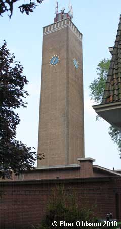
| Utrecht, Moreelsepark N 52.0873 - E 5.1150 |
|
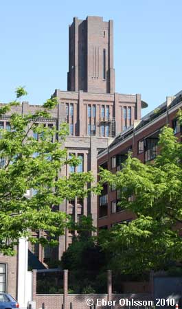 |
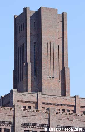
| Utrecht, Neckardreef N 52.1167 - E 5.1203 |
|
  |
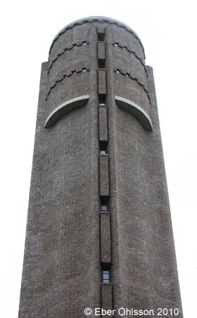
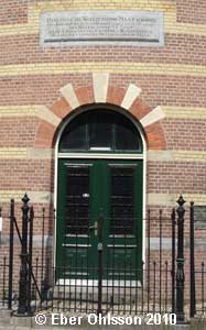
| Utrecht, Lauwerhof N 52.0957 - E 5.1186 |
|
 |
 |
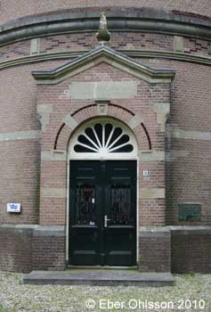
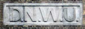
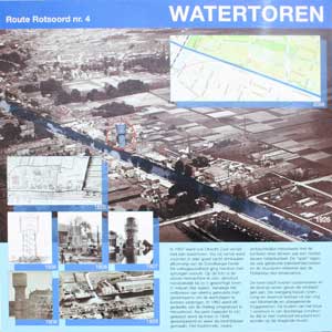
| Utrecht, Heuveloord N 52.0753 - E 5.1206 |
|
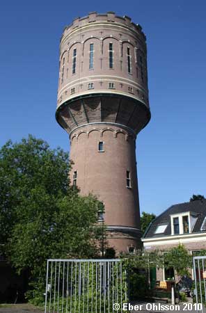 |
| Sign at the water tower. |
|
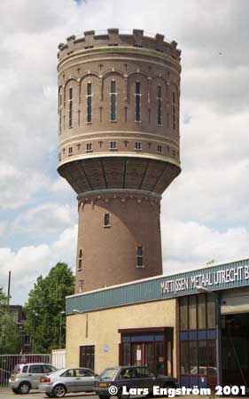
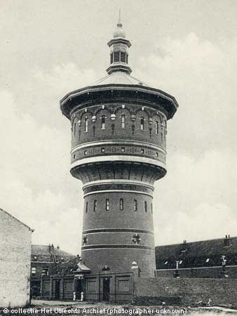
| Utrecht, Riouwstraat (demolished) N 52.0907 - E 5.1014 |
The picture is a contribution from Wilco Krul. |
| Vianen, Kortendijk N 51.9955 - E 5.0902 |
|
| Woerden, Oostsingel N 52.0887 - E 4.8846 |
|
| Woudenberg, Stationsweg Oost N 52.0804 - E 5.4575 |
|
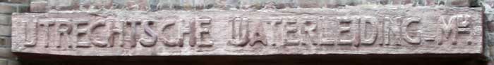
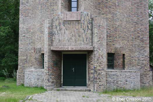
| Zeist, Bergweg N 52.0908 - E 5.2417 |
|
 |
 |
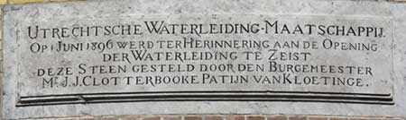 |
Sign at the water tower
|
| Hem Home |
Vattentorn Water Towers |
Vattentorn: Nederländerna Water Towers: The Netherlands |
Upp Up |
| Senast uppdaterad 181215 |